Trails · Easy
Caminho das Voltas
A gentle downhill walk from the Terra Alta viewpoint through native woodland and vine country into the old shipbuilding town of Santo Amaro.
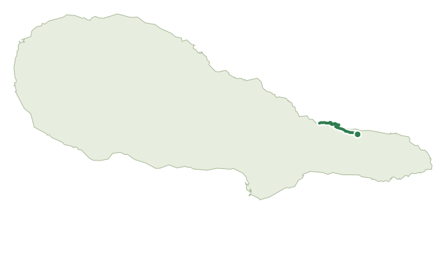
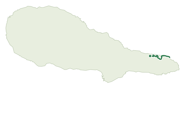
The route starts at the Terra Alta viewpoint between Ribeirinha and Santo Amaro and drops almost immediately into woodland dominated by Australian cheesewood, passing the ruins of old vineyard corrals and small stone footbridges from when this was the main link to Ponta da Ilha.
Beyond the forest the path opens onto small fields used for Pico's traditional small-scale vine growing, passing an abandoned building that once housed a local butter factory, before a short detour down to Baía do Canto, a small seaside spot ringed by wine cellars.
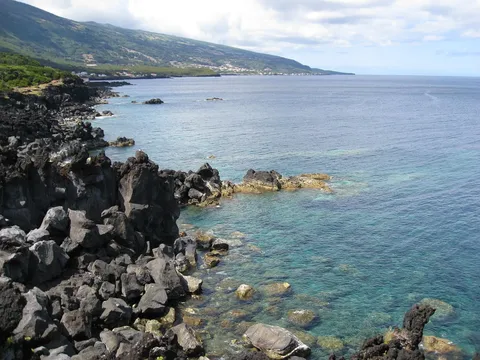
The main path then follows the coast on tarmac past Parque da Furada, a picnic area, into Santo Amaro, the archipelago's old shipbuilding centre — worth a stop at the Maritime Museum of Naval Construction and the Craft School.
It covers 5.8 km in around 2 hours, nearly all downhill with close to 600 m of descent, so it's an easy effort for the legs but sturdy footwear still helps through the forest section.
Elevation · from the official GPX
Up and down the trail
Plan your walk · MET Norway & IPMA
When to go
Pick a start time. We forecast where you'll be each hour — 2 m at the lowest point, 419 m at the top.
Official facts, our words
What to know
Trail facts
Difficulty Easy- Length
- 5.8 km
- Duration
- 2 hr
- Elevation gain
- 167 m
- Route
- Linear
- Highest point
- 419 m
- Steepest descent
- 38% at km 0.1
- Start
- Terra Alta viewpoint
- Finish
- Santo Amaro
- Permit
- Not required
- Trail code
- PR07PIC
Route and facts © Azores trails network (visitazores.com)