Trails · Easy
Canadas da Ribeirinha
A long, gentle walk from Terra Alta to Calhau past ox-cart tracks, a São Jorge viewpoint and the UNESCO vineyards above Baixa harbour.
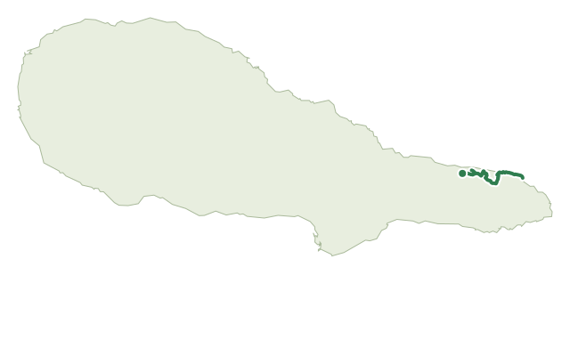
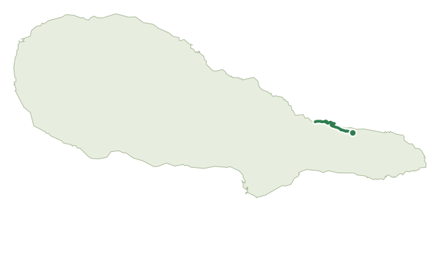
The walk begins near the main ER1 road on the land lane of Caminho da Atalhada, where relheiras — grooves worn into the ground by generations of ox carts — are still visible underfoot, then drops through woodland of Australian cheesewood, fire tree, Azores laurel and Azorean holly.
After crossing the main road, a detour left reaches the Alto dos Cedros viewpoint with views over São Jorge, before the route returns to the road, passes a fountain, and skirts the area of Rocha Alta.
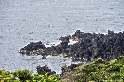
Crossing Ribeirinha village, the path drops by Canada do Mar to Baixa harbour — a good spot to rest, swim and look at the wine cellars and vineyards of the UNESCO landscape — then follows the coast among Azores heather back toward the main road and on to Calhau, where it ends near the recreation harbour.
Covering 8.7 km in about 4 hours, with around 190 m of climbing and 570 m of descent, it's a long but gentle walk with several road crossings; at Calhau it connects onward to PR03 PIC toward Porto do Calhau, Manhenha and Ponta da Ilha.
Elevation · from the official GPX
Up and down the trail
Plan your walk · MET Norway & IPMA
When to go
Pick a start time. We forecast where you'll be each hour — 6 m at the lowest point, 392 m at the top.
Official facts, our words
What to know
Trail facts
Difficulty Easy- Length
- 8.7 km
- Duration
- 4 hr
- Elevation gain
- 187 m
- Route
- Linear
- Highest point
- 392 m
- Steepest descent
- 24% at km 1.0
- Start
- Terra Alta
- Finish
- Calhau
- Permit
- Not required
- Trail code
- PR18PIC
Route and facts © Azores trails network (visitazores.com)