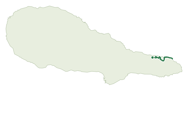
Trails · Hard

Ponta da Ilha

A short but rugged walk over bare basaltic rock and vineyard lanes along Pico's Ponta da Ilha coastline, ending at Manhenha's quay.
PicoOfficial trail code PR03PICOfficial trail status: Status unknownUpdated 18 October 2026
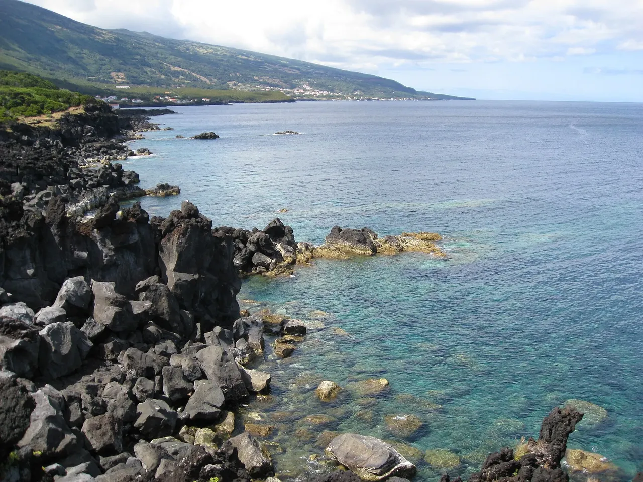
Lava rock coastline at Piedade, with Pico's volcano behind.

Photo: Eduardo Manchon · CC BY-SA 3.0

A short climb up an asphalt lane leads to the 1854 chapel of Nossa Senhora da Rocha, then the route drops into vineyard country on marked paths past old stone houses.

The trail continues along the coast over bare basaltic rock — the surface here is distinctly uneven — before a stairway climbs up to the houses of Engrade, where you can head straight to Manhenha or take the longer branch past several small bays to the Manhenha lighthouse.

Either way, you finish on the asphalt road down to Manhenha Quay; the whole route covers 6.1 km in about 3 hours, with just over 100 m of climbing, but it's officially rated hard because of the rock and the stairway, not the distance.

Elevation · from the official GPX

Up and down the trail

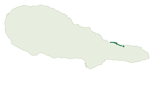
Hover or drag along the chart — the dot follows on the map.

gentle < 8%steady 8–15%steep > 15%+111 m up · −106 m down · 1 m → 27 m

Plan your walk · MET Norway & IPMA

When to go

Pick a start time. We forecast where you'll be each hour — 1 m at the lowest point, 27 m at the top.

Loading the forecast…

Official facts, our words

What to know

Start & finish
Chapel of Nossa Senhora da Rocha to Manhenha Quay
Safety
The coastal stretch crosses bare, uneven basaltic rock that is slippery when wet, and the stairway near Engrade demands sure footing — sturdy boots are worth it on this one.
When to go
The exposed rock section gets very hot with no shade in summer and can stay slick after rain at any time of year.

The route

TrailheadHigh point500 m
Directions

Trail facts

Difficulty Hard
Length
6.1 km
Duration
3 hr
Elevation gain
111 m
Route
Linear
Highest point
27 m
Steepest climb
10% at km 0.0
Start
Chapel of Nossa Senhora da Rocha
Finish
Manhenha Quay
Permit
Not required
Trail code
PR03PIC

Route and facts © Azores trails network (visitazores.com)
Same island

More trails on Pico

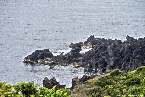
  • Black lava rocks along the coast at Calheta do Nesquim.

    Trails

    Calheta do Nesquim

    A coastal and woodland loop from the whaling village of Calheta do Nesquim, climbing for views before returning past a whale-watching tower.

    Pico

    1 min read

  • Canadas da Ribeirinha — route map

    Trails

    Canadas da Ribeirinha

    A long, gentle walk from Terra Alta to Calhau past ox-cart tracks, a São Jorge viewpoint and the UNESCO vineyards above Baixa harbour.

    Pico

    1 min read

  • Caminho das Voltas — route map

    Trails

    Caminho das Voltas

    A gentle downhill walk from the Terra Alta viewpoint through native woodland and vine country into the old shipbuilding town of Santo Amaro.

    Pico

    1 min read