Trails · Moderate
Caminho das Fontes
A loop from Calheta's port up an old cobbled climb and along a historic water trail, with a working tuna cannery on the way back.
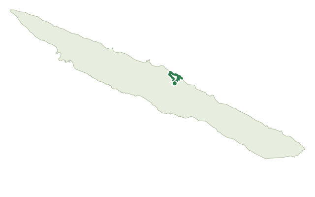
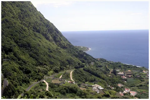
The route begins at Calheta's village port, next to the Francisco de Lacerda Museum and a cluster of everyday services, then climbs the steep, 19th-century cobbled path of Ladeira Velha, with a rest stop at its picnic park and a viewpoint over Calheta, Pico and Faial from Rua de Baixo. At Biscoitos, the trail's high point, you pass the Church of Nossa Senhora do Socorro before joining the Caminho das Fontes itself, an old route villagers once used to fetch water and wash clothes at the Fontes da Rocha springs.
The climb continues to Fajã Grande past the old washing basins and the ruins of a water mill, through fields where water yam is still grown. Down in the fajã, the path passes the Senhor Bom Jesus chapel and a campsite by the bathing area before following the coast past an old windmill and the Santa Catarina tuna cannery, which has used traditional methods since the 1940s, then by the Church of Santa Catarina, patron saint of Calheta, back to the port where it began.
At 8.1 km and about 3 hours, with roughly 370 m of both climb and descent, this is a moderate half-day loop that trades a stiff initial climb for an easy coastal return.
Elevation · from the official GPX
Up and down the trail
Plan your walk · MET Norway & IPMA
When to go
Pick a start time. We forecast where you'll be each hour — 5 m at the lowest point, 350 m at the top.
Official facts, our words
What to know
Trail facts
Difficulty Moderate- Length
- 8.1 km
- Duration
- 3 hr
- Elevation gain
- 371 m
- Route
- Circular
- Highest point
- 350 m
- Steepest climb
- 29% at km 4.0
- Start
- Calheta port
- Finish
- Calheta port
- Permit
- Not required
- Trail code
- PRC10SJO
Route and facts © Azores trails network (visitazores.com)