Trails · Hard
Grande Rota de São Jorge (Oeste)
The longer, multi-day crossing of São Jorge's west, from the Ponta dos Rosais lighthouse to the fajã coast.
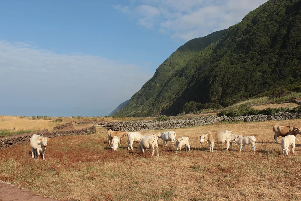
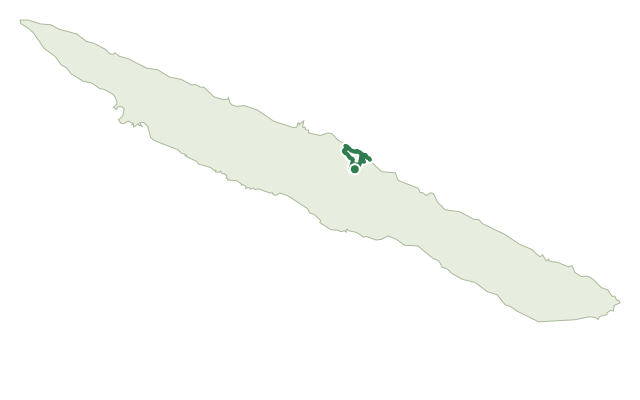
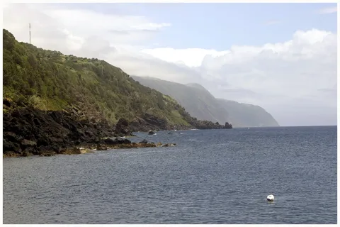
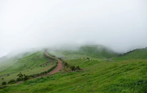
This long-distance route covers roughly the western half of São Jorge, running from Ponta dos Rosais, the island's westernmost point, to Fajã dos Cubres on the north coast. Like its eastern counterpart, it alternates between the island's inland plateau, where its volcanic cones first rose, and the steep cliffs that drop to the flat fajã platforms at sea level.
It is split into two stages of about 22 km and 30 km, so most walkers spread the crossing over two or three days. At Fajã dos Cubres it meets the GR01 SJO, which continues east to Topo, so the two routes together cover almost the whole island.
At nearly 53 km and around 15 hours of walking, with roughly 2,050 m of climbing and 1,800 m of descent along the way, this is the longest route on the island and demands real multi-day planning. Wild camping is forbidden, so book a night at one of the Local Lodging or Rural Tourism houses along the way, and use the villages you pass to top up supplies.
Elevation · from the official GPX
Up and down the trail
Plan your walk · MET Norway & IPMA
When to go
Pick a start time. We forecast where you'll be each hour — 7 m at the lowest point, 1,014 m at the top.
Official facts, our words
What to know
Trail facts
Difficulty Hard- Length
- 52.9 km
- Duration
- 15 hr
- Elevation gain
- 2,072 m
- Route
- Linear
- Highest point
- 1,014 m
- Steepest climb
- 17% at km 43.9
- Start
- Ponta dos Rosais
- Finish
- Fajã dos Cubres
- Permit
- Not required
- Trail code
- GR02SJO
Route and facts © Azores trails network (visitazores.com)