Trails · Moderate
Serra do Topo - Caldeira de Santo Cristo - Fajã dos Cubres
A long descent from the Serra do Topo moorland to the lagoon of Caldeira de Santo Cristo and on to Fajã dos Cubres.
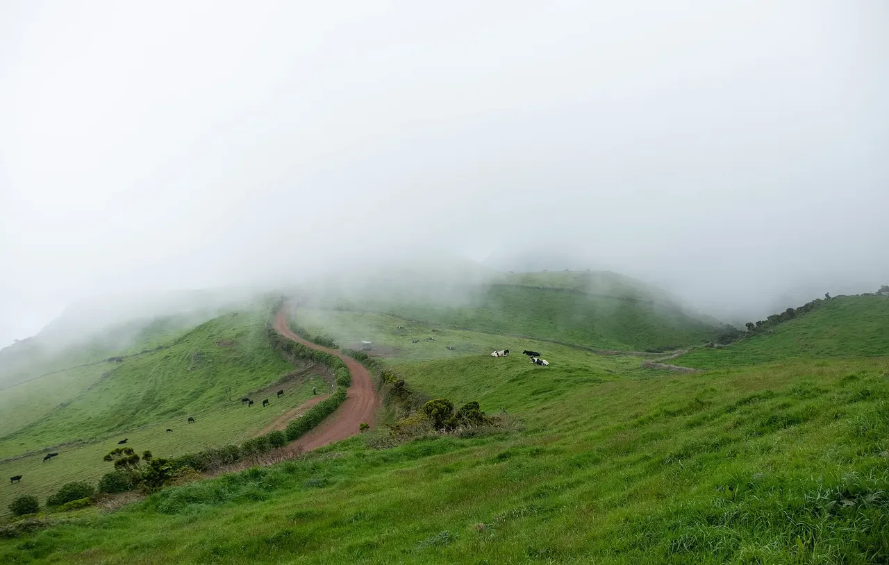
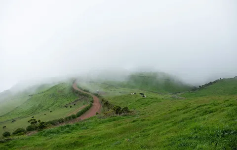
This route starts high on the Serra do Topo, among wind-blown heather moorland, and drops steadily toward the coast. Early on it passes a mountain shelter and threads through native scrub where Azorean heather, Azores juniper and Azorean holly grow, with whimbrels, goldcrests and buzzards often seen or heard overhead.
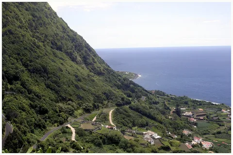
After crossing the Tia Júlia bridge and a short detour to the Cascata Pequena waterfall, the path opens onto views of the Caldeira de Santo Cristo, a lagoon protected as a landscape of cultural and scenic interest and now also a recognised surf and bodyboard spot. From there it follows the coast northwest past the long-abandoned Fajã do Belo, where old wire-rope hoists once carried firewood down from the cliffs, before finishing at Fajã dos Cubres near the church of Nossa Senhora de Lourdes.
At 9.3 km and about 2 h 30, this is a moderate half-day walk, but the numbers are deceptive: it climbs only about 200 m yet drops nearly 870 m from a high point of around 700 m, so the knees take most of the work. From Fajã dos Cubres you can link onward onto either branch of the Grande Rota de São Jorge.
Elevation · from the official GPX
Up and down the trail
Plan your walk · MET Norway & IPMA
When to go
Pick a start time. We forecast where you'll be each hour — 0 m at the lowest point, 704 m at the top.
Official facts, our words
What to know
Trail facts
Difficulty Moderate- Length
- 9.3 km
- Duration
- 2 hr 30 min
- Elevation gain
- 201 m
- Route
- Linear
- Highest point
- 704 m
- Steepest descent
- 27% at km 1.8
- Start
- Serra do Topo
- Finish
- Fajã dos Cubres
- Permit
- Not required
- Trail code
- PR01SJO
Route and facts © Azores trails network (visitazores.com)