Trails · Hard
Serra do Topo - Fajã dos Vimes
A steep, scenic drop from the Serra do Topo moorland through native woods to the fajã of Vimes.
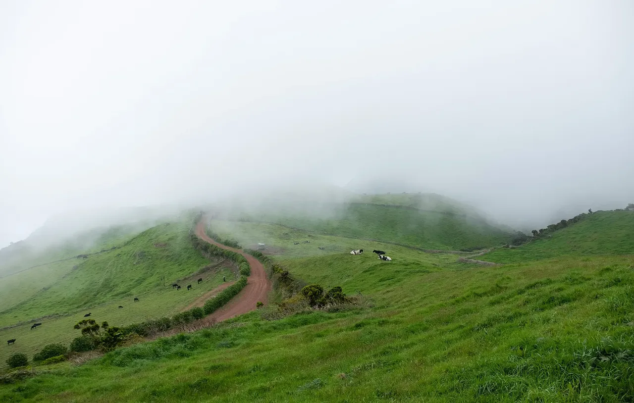
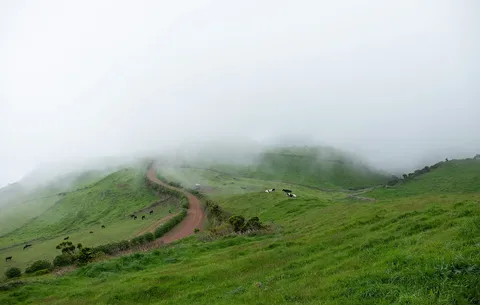
The walk begins on the regional road near the Serra do Topo and heads south onto a dirt track lined with hydrangeas before dropping through a gate into native woodland. Here Azorean heather, Azores juniper, Azores blueberry and laurustinus crowd the path, and the ground turns muddy and slippery on the way down.
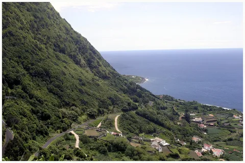
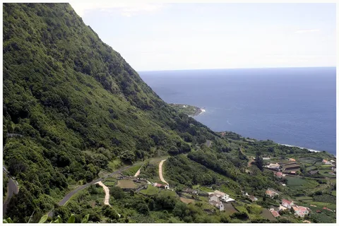
Near a stand of Australian cheesewood an old rock stairway carries the trail down the cliff face to the tarmac road into Fajã dos Vimes, passing the drinkable Fonte de Água Azeda spring on the way. In the fajã you can visit the workshop where traditional patchwork quilts are made and sample locally grown coffee before reaching the small recreation harbour where the trail ends.
At 5.5 km the distance looks modest, but the route rated hard earns it: about 200 m of climb against roughly 830 m of descent from a high point near 650 m makes for a knee-jarring drop in about 2 h 30. From the harbour you can connect onward to PR09 SJO, PR03 SJO or the Grande Rota de São Jorge.
Elevation · from the official GPX
Up and down the trail
Plan your walk · MET Norway & IPMA
When to go
Pick a start time. We forecast where you'll be each hour — 8 m at the lowest point, 646 m at the top.
Official facts, our words
What to know
Trail facts
Difficulty Hard- Length
- 5.5 km
- Duration
- 2 hr 30 min
- Elevation gain
- 198 m
- Route
- Linear
- Highest point
- 646 m
- Steepest descent
- 55% at km 3.2
- Start
- Serra do Topo
- Finish
- Fajã dos Vimes
- Permit
- Not required
- Trail code
- PR02SJO
Route and facts © Azores trails network (visitazores.com)