Trails · Hard
São João - Lourais - Fajã dos Vimes
A hard south-coast crossing through two fajãs and a high pass, with sweeping views of Pico and Faial.
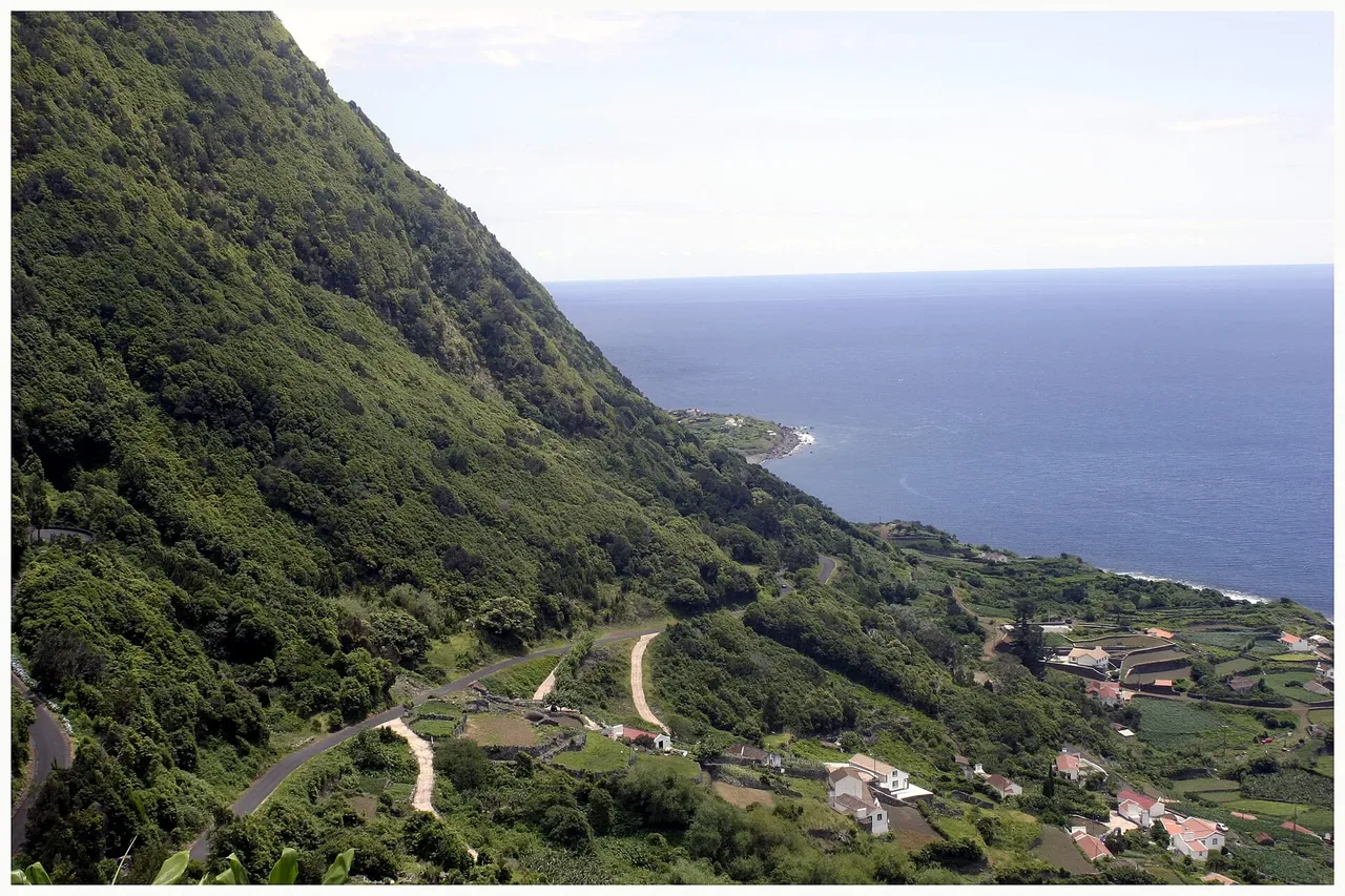
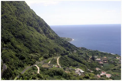
The walk leaves Fajã de São João past its small café and traditional cobbled lanes, then climbs northwest through vineyards, corn and yam fields toward Lourais. The farmed terraces give way to woods of fire tree, Australian cheesewood and white wood as the path gains height, with Fajã de São João receding into view behind you.
Near the top you cross the Ribeira do Salto, named for the waterfall that forms there, before dropping on a dirt road toward Fajã dos Bodes. The descent opens onto views of Pico and Faial, the fajãs of Bodes and Vimes, and the village of Calheta, and the vegetation shifts from heather and blueberry back to cheesewood and fire tree as you lose altitude to Fajã dos Vimes.
At 9.6 km, about 3 h 30 and roughly 740 m of climb from a high point near 450 m, this is a genuinely hard day out rather than a casual stroll. The trail ends at the small recreation harbour, where you can sample locally grown coffee and visit the patchwork quilt workshop before connecting on to PR02 SJO, PR09 SJO or the Grande Rota de São Jorge.
Elevation · from the official GPX
Up and down the trail
Plan your walk · MET Norway & IPMA
When to go
Pick a start time. We forecast where you'll be each hour — 0 m at the lowest point, 452 m at the top.
Official facts, our words
What to know
Trail facts
Difficulty Hard- Length
- 9.6 km
- Duration
- 3 hr 30 min
- Elevation gain
- 741 m
- Route
- Linear
- Highest point
- 452 m
- Steepest climb
- 33% at km 2.8
- Start
- Fajã de São João
- Finish
- Fajã dos Vimes
- Permit
- Not required
- Trail code
- PR03SJO
Route and facts © Azores trails network (visitazores.com)