Trails · Moderate
Norte Pequeno
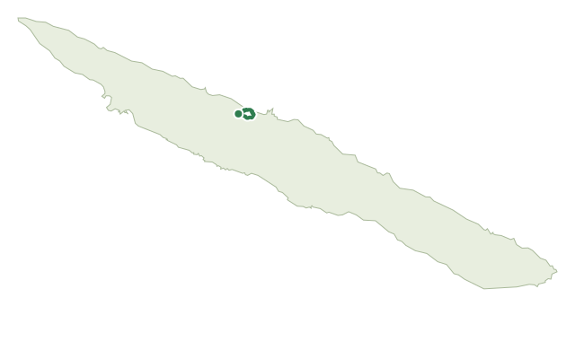
A cliff-hugging loop on São Jorge's north coast past three small fajãs and a working fishing harbour.
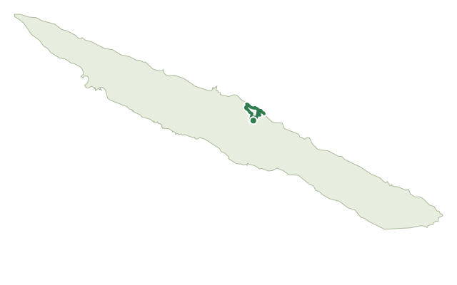
The loop leaves the outskirts of Norte Pequeno, drops through the village toward the sea, then follows a dirt road past farmland where Azorean heather grows and a small reservoir collects water for the village. On its steepest stretch the path hugs the cliff edge through heather, fire tree, Australian cheesewood and yellow ginger lily, with yam, willow and New Zealand flax growing alongside, all once harvested for everyday tools.
Fajã do Mero is the first settlement you reach near the shore. From there the main road continues to Fajã da Penedia, with a detour to the rebuilt Chapel of Santa Filomena, before a fork drops to Fajã das Pontas and its small fishing harbour, where a swim in the Atlantic rounds off the walk. The return follows the same road back up toward Norte Pequeno, where it meets the GR02 SJO toward either Fajã dos Cubres or Santo Amaro.
At 10.9 km and about 3 hours, the distance alone undersells it: the loop packs in roughly 740 m of both climb and descent, so despite the medium rating this is a genuinely strenuous cliff walk.
Elevation · from the official GPX
Up and down the trail
Plan your walk · MET Norway & IPMA
When to go
Pick a start time. We forecast where you'll be each hour — 7 m at the lowest point, 478 m at the top.
Official facts, our words
What to know
Trail facts
Difficulty Moderate- Length
- 10.9 km
- Duration
- 3 hr
- Elevation gain
- 742 m
- Route
- Circular
- Highest point
- 478 m
- Steepest descent
- 60% at km 2.8
- Start
- Norte Pequeno
- Finish
- Norte Pequeno
- Permit
- Not required
- Trail code
- PRC06SJO
Route and facts © Azores trails network (visitazores.com)