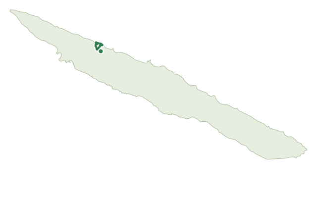
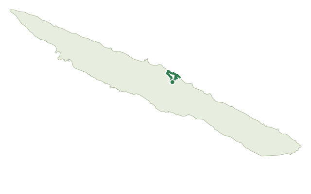
Trails · Hard
Fajã d'Além
A steep loop down to a remote, barely touched fajã on São Jorge's north coast, and back up again.
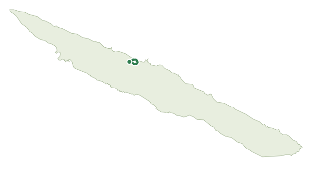
The loop leaves the Chapel of Santo António on a dirt road and forks downhill toward Fajã d'Além, with views opening along the way over the neighbouring Fajãs do Ouvidor and Ribeira da Areia and, on a clear day, as far as Terceira and Graciosa. Down in the fajã, the path threads between rural houses and small fields still worked with traditional crops, past old cellars and the Moinho do Sr. Moisés watermill.
After exploring the fajã, the return climb takes the eastern side of the valley, passing natural springs and the streams that run off the ridge, with the steady gain in height opening up fresh views back over Fajã d'Além. The climb rejoins the regional road, which you follow back to the starting chapel.
At 4.7 km and about 3 hours, this is a short but demanding circuit: roughly 515 m of climb and the same of descent packed into under 5 km means the gradient does most of the work, not the distance.
Elevation · from the official GPX
Up and down the trail
Plan your walk · MET Norway & IPMA
When to go
Pick a start time. We forecast where you'll be each hour — 10 m at the lowest point, 471 m at the top.
Official facts, our words
What to know
Trail facts
Difficulty Hard- Length
- 4.7 km
- Duration
- 3 hr
- Elevation gain
- 516 m
- Route
- Circular
- Highest point
- 471 m
- Steepest descent
- 59% at km 2.2
- Start
- Santo António Chapel
- Finish
- Santo António Chapel
- Permit
- Not required
- Trail code
- PRC05SJO
Route and facts © Azores trails network (visitazores.com)