Trails · Moderate
Pico do Pedro - Pico da Esperança - Fajã do Ouvidor
A high ridge walk past a string of volcanic cones to the island's highest point, then down to a lava fajã on the coast.
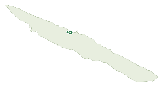
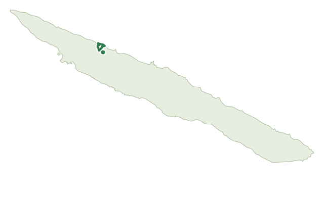
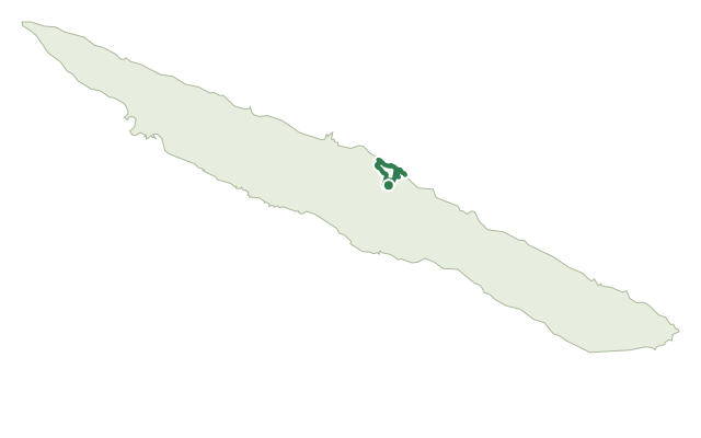
This route follows São Jorge's central volcanic range, starting near road EN3 at the foot of Pico do Pedro and running along the north slope at 800 to 1,000 m elevation. It passes several named cones in turn, among them Carvão, Junça, Verde, Montoso and Morro Pelado, in a protected habitat and species management area.
A marked detour climbs to Pico da Esperança, the island's highest point, where you can circle the crater and look down into its lake before returning to the main path. Continuing the descent, the route passes Pico do Areiro and Pico Pinheiro, both also holding small crater lakes, meets the GR02 SJO, and then drops north through woods and farm roads to Fajã do Ouvidor, an unusually large lava fajã with its own fishing harbour and bathing area.
At 16.9 km and about 4 hours, with roughly 1,085 m of net descent from a high point near 1,000 m, this is a long day on exposed, high ground. Carry proper layers, since conditions on the plateau can change quickly.
Elevation · from the official GPX
Up and down the trail
Plan your walk · MET Norway & IPMA
When to go
Pick a start time. We forecast where you'll be each hour — 25 m at the lowest point, 1,019 m at the top.
Official facts, our words
What to know
Trail facts
Difficulty Moderate- Length
- 16.9 km
- Duration
- 4 hr
- Elevation gain
- 326 m
- Route
- Linear
- Highest point
- 1,019 m
- Steepest descent
- 34% at km 15.6
- Start
- Pico do Pedro
- Finish
- Fajã do Ouvidor
- Permit
- Not required
- Trail code
- PR04SJO
Route and facts © Azores trails network (visitazores.com)