Trails · Hard
Fajãs do Toledo
A hard loop into three abandoned fajãs on São Jorge's remote northwest coast, each with its own history.
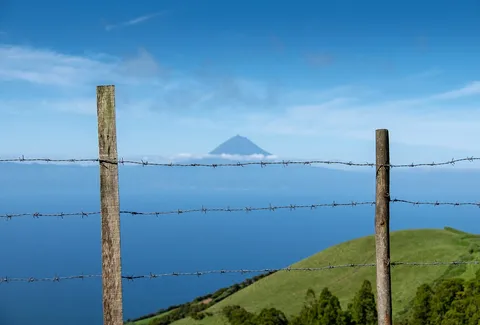
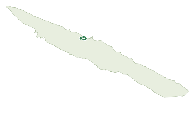
The walk starts at the 1889 Chapel of São José in Toledo, inside the São Jorge Natural Park, and follows the old regional road down through former corn and wheat fields now used as pasture, with views opening over Ponta Furada and Fajã do Ouvidor and, on clear days, as far as Graciosa and Terceira.
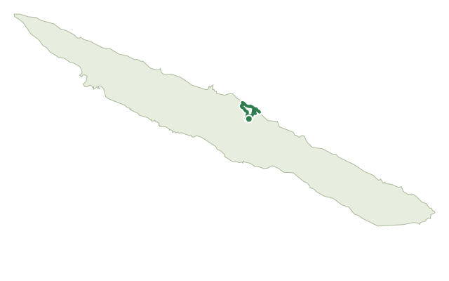
The route then visits three fajãs in turn. Fajã Manuel Teixeira, also called Fajã do Caminho do Meio after a stairway path abandoned following the 1980 earthquake, still shows terraced vineyard and fruit plots, yam fields near its springs, and the old cable lines once used to lower firewood; crossing the Ribeira da Quebrada stream needs care. Fajã Rasa, a narrow strip once farmed with vines, potatoes, melons and watermelons, was the site of the mid-19th-century wreck of the Spanish ship Algorta, whose crew all survived; and Fajã Vasco Martins, one of the island's largest and most remote fajãs, abandoned like the others after 1980, holds the Poço das Airoses waterfall, named for the local freshwater eels.
At 6.8 km and about 3 hours, with roughly 740 m of both climb and descent, this short distance hides a genuinely hard day: the return climb up the cliff on a narrow path is the sting in the tail, rewarded with sweeping views back over the fajãs.
Elevation · from the official GPX
Up and down the trail
Plan your walk · MET Norway & IPMA
When to go
Pick a start time. We forecast where you'll be each hour — 4 m at the lowest point, 549 m at the top.
Official facts, our words
What to know
Trail facts
Difficulty Hard- Length
- 6.8 km
- Duration
- 3 hr
- Elevation gain
- 739 m
- Route
- Circular
- Highest point
- 549 m
- Steepest climb
- 57% at km 5.4
- Start
- São José Chapel, Toledo
- Finish
- São José Chapel, Toledo
- Permit
- Not required
- Trail code
- PRC08SJO
Route and facts © Azores trails network (visitazores.com)