Trails · Easy
Caminho das Lagoas
A full-day crossing of Pico's wild interior past crater lakes and highland bog to the Caveiro Nature Reserve — only for clear days.
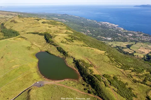
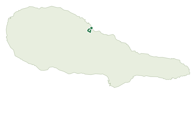
This is the long way through Pico's uninhabited interior, starting at the forest services house on the Estrada Transversal and threading between a string of crater lakes — Caiado, Lagoa Seca and the Lagoas do Peixinho among them — and open high-altitude pasture.
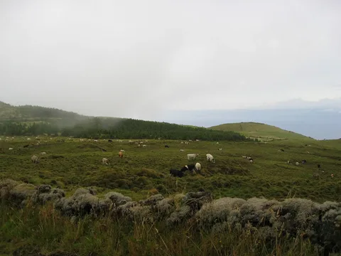
The route crosses the Caveiro Nature Reserve, where sphagnum moss, rushes, Azorean holly and Azores juniper grow among peat bog, and on a clear day you can pick out São Jorge and Terceira on the horizon; birdlife includes the Azores goldcrest, blackbird and woodcock.
The path finishes by descending into the parish of Ribeirinha. At 22 km and around 7 hours, it's the longest route on this list — plan for a full day, with roughly 340 m of climbing and nearly 700 m of descent spread along the way.
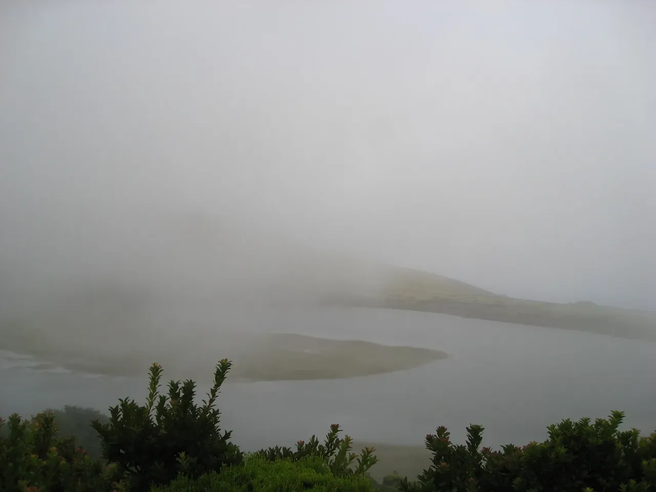
The official guidance is blunt: this trail is not recommended on foggy days, since the open highland sections offer no landmarks to navigate by once visibility drops.
Elevation · from the official GPX
Up and down the trail
Plan your walk · MET Norway & IPMA
When to go
Pick a start time. We forecast where you'll be each hour — 405 m at the lowest point, 980 m at the top.
Official facts, our words
What to know
Trail facts
Difficulty Easy- Length
- 22 km
- Duration
- 7 hr
- Elevation gain
- 341 m
- Route
- Linear
- Highest point
- 980 m
- Steepest descent
- 14% at km 21.9
- Start
- Estrada Transversal (forest services house)
- Finish
- Ribeirinha
- Permit
- Not required
- Trail code
- PR19PIC
Route and facts © Azores trails network (visitazores.com)