Trails · Moderate
Lagoa do Capitão
A highland walk past the crater lake of Lagoa do Capitão and the Piquinho summit, descending through juniper scrub to the convent at Cais do Pico.
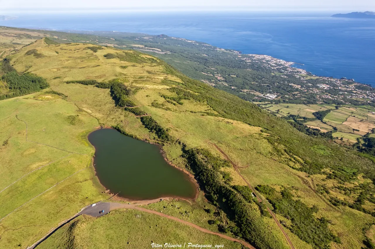
Photo: Vitor Oliveira from Torres Vedras, PORTUGAL · CC BY-SA 2.0
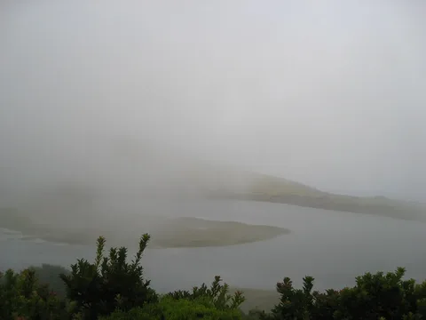
The route begins on the Estrada Transversal in the island's central highlands and opens almost at once onto Lagoa do Capitão, a crater lake worth a stop before you pick up the dirt trail on its far side, flanked by tall endemic Azores junipers.
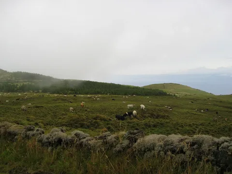
After about 3 km the path skirts the Piquinho summit with views over the north coast, then doubles back down the gravel track before cutting through pasture and a stretch of endemic scrub.
The descent continues down a steep, cobbled slope as the vegetation gives way to Australian cheesewood lower down; after a picnic area the trail drops to Cais do Pico, finishing at the Convento de São Pedro de Alcântara.
It's 9.3 km in about 3 hours, with close to 800 m of descent overall and only modest climbing near the start — a comfortable downhill day once you're past the lake.
Elevation · from the official GPX
Up and down the trail
Plan your walk · MET Norway & IPMA
When to go
Pick a start time. We forecast where you'll be each hour — 37 m at the lowest point, 792 m at the top.
Official facts, our words
What to know
Trail facts
Difficulty Moderate- Length
- 9.3 km
- Duration
- 3 hr
- Elevation gain
- 67 m
- Route
- Linear
- Highest point
- 792 m
- Steepest descent
- 37% at km 4.9
- Start
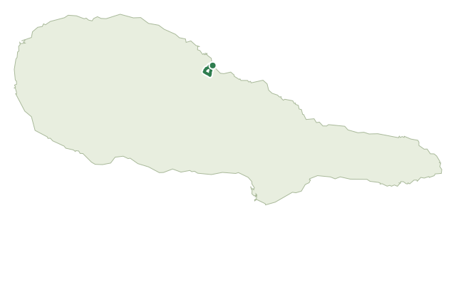
- Estrada Transversal
- Finish
- Convento de São Pedro de Alcântara, Cais do Pico
- Permit
- Not required
- Trail code
- PR13PIC
Route and facts © Azores trails network (visitazores.com)