Trails · Moderate
Caminho dos Burros: Vertente Norte
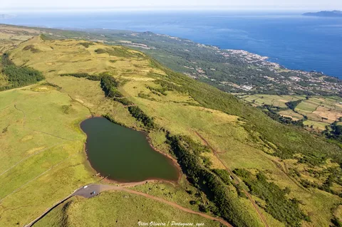
A long highland-to-coast descent through Pico's misty interior and native scrub down to the quiet Bay of Canas.
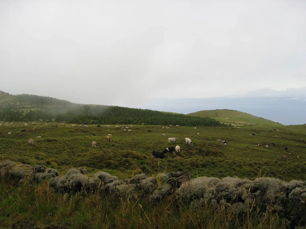
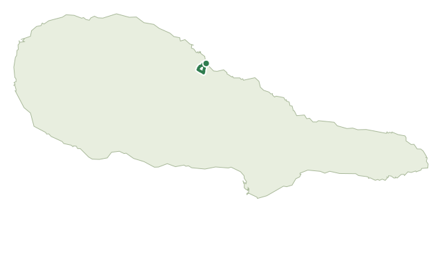
The walk starts beside the Caminho das Lagoas lane in Pico's central highlands, near Cabeços do Mistério, among dense highland vegetation that includes a notable stand of the endemic Euphorbia stygiana and wide beds of sphagnum moss.
After the high ground, the path narrows and begins a long, steady descent toward the coast; near the bottom you choose between a dirt track to São Miguel Arcanjo or the route down to the Bay of Canas, continuing past Australian cheesewood, acacia and Azores laurel into the Prainha Forest Park.
Figure on about 3 h 30 for the 8.9 km route — mostly downhill, with close to 850 m of descent and only modest climbing, so footwear and knees matter more here than lungs.
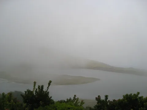
Starting above 800 m, the upper section can sit in cloud even when the coast below is clear, so it's worth checking conditions before setting out.
Elevation · from the official GPX
Up and down the trail
Plan your walk · MET Norway & IPMA
When to go
Pick a start time. We forecast where you'll be each hour — 11 m at the lowest point, 811 m at the top.
Official facts, our words
What to know
Trail facts
Difficulty Moderate- Length
- 8.9 km
- Duration
- 3 hr 30 min
- Elevation gain
- 74 m
- Route
- Linear
- Highest point
- 811 m
- Steepest descent
- 26% at km 2.0
- Start
- Caminho das Lagoas, central highlands
- Finish
- Bay of Canas
- Permit
- Not required
- Trail code
- PR02PIC
Route and facts © Azores trails network (visitazores.com)