Trails · Moderate
Caminhos de Santa Luzia
A vineyard-and-woodland walk through Pico's UNESCO wine landscape, dropping to Lajido before looping back through native forest to the church of Santa Luzia.
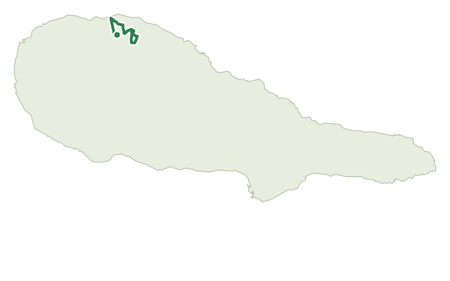
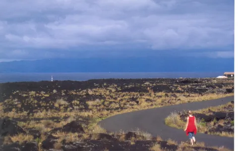
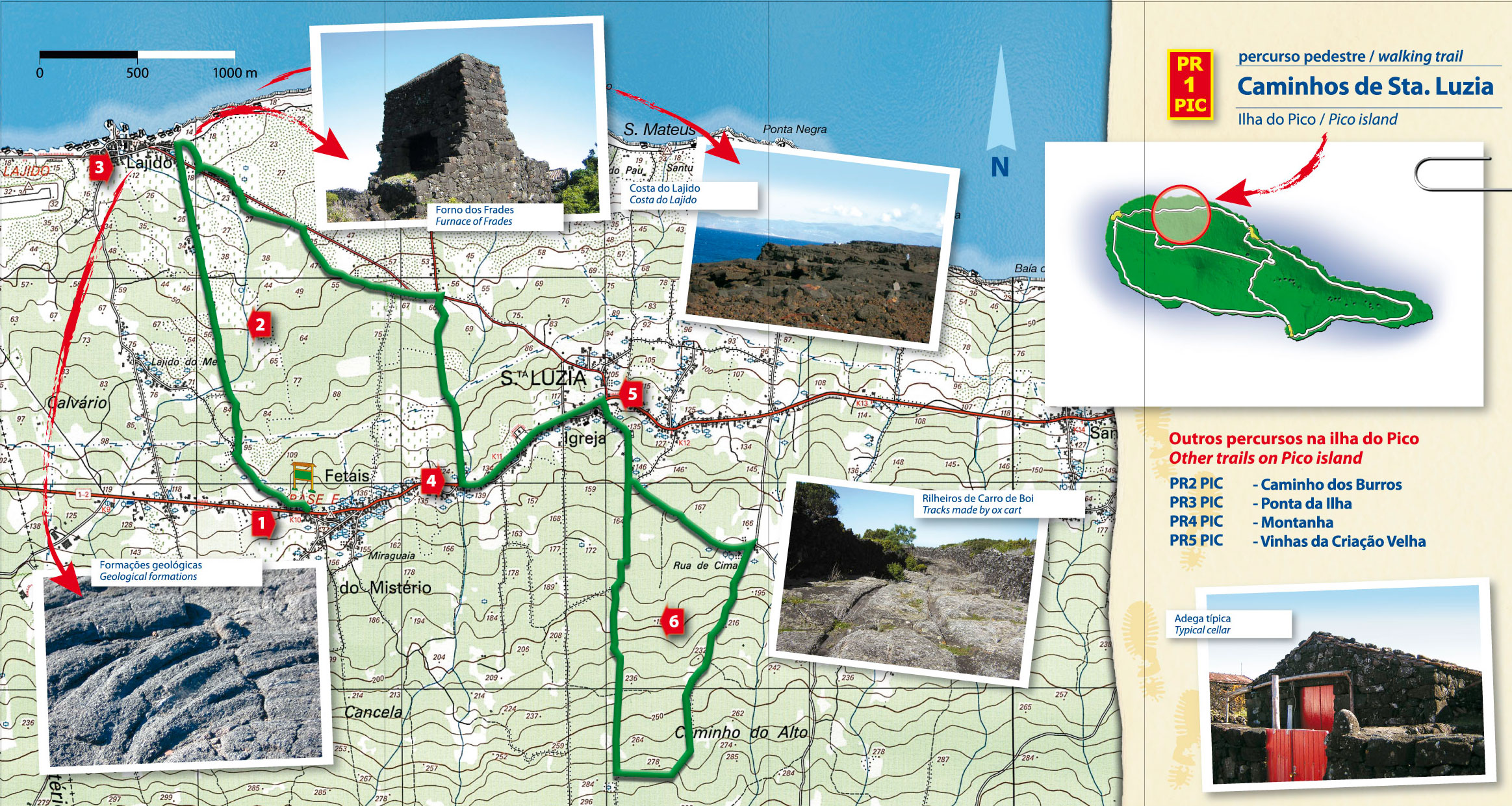
The walk starts at Miraguaia, above Santa Luzia, and drops down through vineyard country that forms part of Pico's UNESCO World Heritage wine landscape, the lava underfoot still grooved by the ox carts that once hauled wine to the coast.
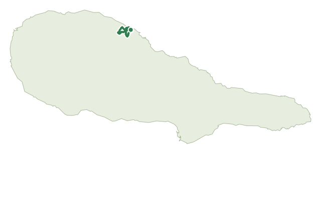
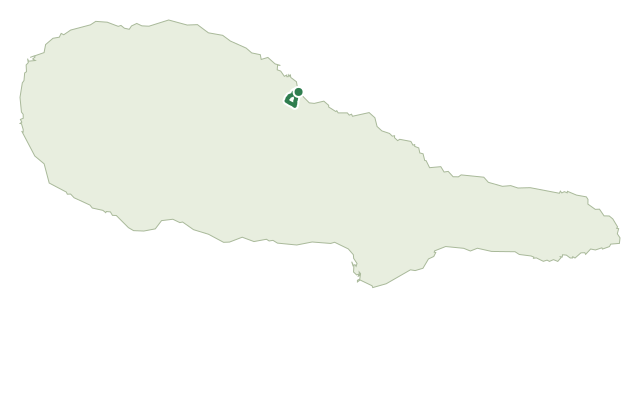
It passes through Lajido, where the small museum and the surrounding lava formations are worth a stop, then climbs back inland through Forno dos Frades before joining the regional road for a short stretch up to the church of Santa Luzia.
From the church, a second loop continues on packed earth through woods of wood white, Azores heather and incense before returning to the same church to finish.
Allow about 3 hours for the 9.4 km route, with roughly 250 m of climbing on the way back; the vineyard section has almost no shade, and walkers are asked not to pick fruit from the vines.
Elevation · from the official GPX
Up and down the trail
Plan your walk · MET Norway & IPMA
When to go
Pick a start time. We forecast where you'll be each hour — 15 m at the lowest point, 246 m at the top.
Official facts, our words
What to know
Trail facts
Difficulty Moderate- Length
- 9.4 km
- Duration
- 3 hr
- Elevation gain
- 248 m
- Route
- Linear
- Highest point
- 246 m
- Steepest descent
- 13% at km 7.7
- Start
- Miraguaia, Santa Luzia
- Finish
- Church of Santa Luzia
- Permit
- Not required
- Trail code
- PR01PIC
Route and facts © Azores trails network (visitazores.com)