Trails · Easy
Santana - Lajido
A coastal walk between Santana and Lajido past a whale lookout, a tidal pool and a basaltic shortcut, ending among Pico's UNESCO vineyards.
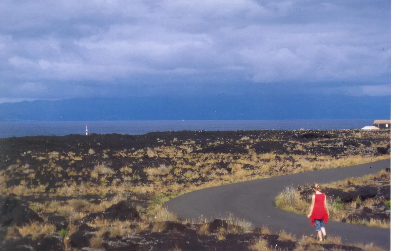
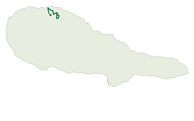
The walk starts on the regional road at the edge of Santana and São Vicente Ferreira — it's worth the short detour along the access lane to the whale lookout before you set off — then drops between two houses and down toward Gasparal Bay through orchards and vineyards.
At the bay you pass a tidal pool and follow the shoreline toward Ponta Negra on a lane lined with Australian cheesewood and Azores heather that narrows into a shortcut over basaltic rocks; past the houses of Cabrito the trail climbs to the chapel of São Mateus.
From there it continues through the village of Arcos to Lajido, finishing at the Interpretation Centre for the UNESCO-listed Pico vineyards — a good last stop to put everything you've just walked through into context.
The route covers 8.7 km in around 2 h 30; it's rated easy, with a modest profile of around 300 m of climbing and 200 m of descent, but the basaltic shortcut deserves care underfoot.
Elevation · from the official GPX
Up and down the trail
Plan your walk · MET Norway & IPMA
When to go
Pick a start time. We forecast where you'll be each hour — 4 m at the lowest point, 198 m at the top.
Official facts, our words
What to know
Trail facts
Difficulty Easy- Length
- 8.7 km
- Duration
- 2 hr 30 min
- Elevation gain
- 303 m
- Route
- Linear
- Highest point
- 198 m
- Steepest climb
- 19% at km 7.8
- Start
- Santana / São Vicente Ferreira boundary
- Finish
- Lajido
- Permit
- Not required
- Trail code
- PR10PIC
Route and facts © Azores trails network (visitazores.com)