Trails · Moderate
Garajau
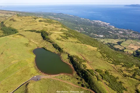
A coastal loop from the Furna natural pools past ox-cart tracks, a wine cellar and the old fossil cliffs of Santo António, with views to Pico mountain.
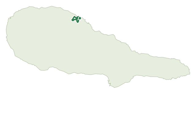
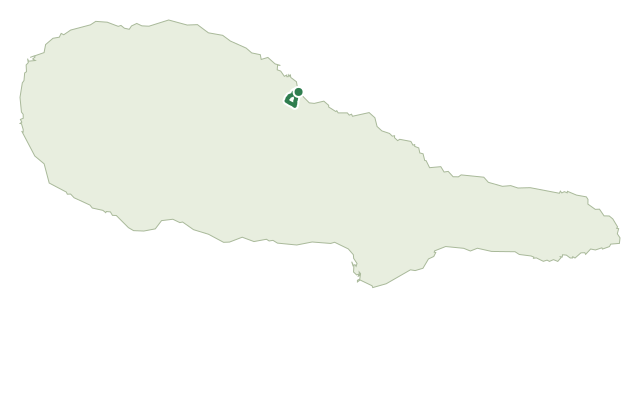
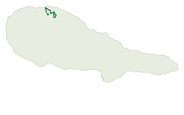
The loop starts at the Furna natural pools in Santo António, São Roque, and climbs on old ox-cart tracks — the relheiras worn into the ground are still visible — through dirt lanes on the way up.
On the way down, a stop at Adega A Buraca is worth it for a taste of local wine and spirits, and near Santo António church there's a clear view across to Pico mountain, Portugal's highest point at 2,351 m.
Back near the coast, the route runs through the protected Furnas de Santo António habitat area and past the Arriba Fóssil de Santo António-São Roque, an old cliff formed from basaltic aa and pahoehoe lava flows, with rocky outcrops, sea caves and small islets along the shore.
It covers about 7 km (official materials give 7.8 km) in around 3 hours, with close to 285 m of climbing; afterwards, the Furna pools make a good spot to cool off, with views across to São Jorge.
Elevation · from the official GPX
Up and down the trail
Plan your walk · MET Norway & IPMA
When to go
Pick a start time. We forecast where you'll be each hour — 8 m at the lowest point, 207 m at the top.
Official facts, our words
What to know
Trail facts
Difficulty Moderate- Length
- 7 km
- Duration
- 3 hr
- Elevation gain
- 284 m
- Route
- Circular
- Highest point
- 207 m
- Steepest descent
- 22% at km 2.3
- Start
- Furna natural pools, Santo António
- Finish
- Furna natural pools, Santo António
- Permit
- Not required
- Trail code
- PRC20PIC
Route and facts © Azores trails network (visitazores.com)