Trails · Hard
Caminhos Velhos
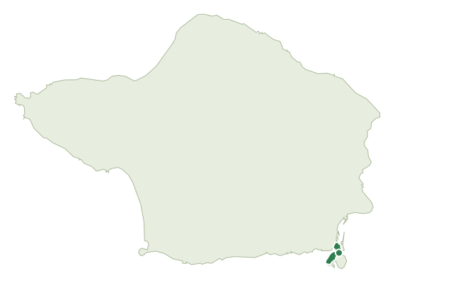
An old rural route climbing from the earthquake-marked village of Ribeirinha up to Faial's Caldeira.
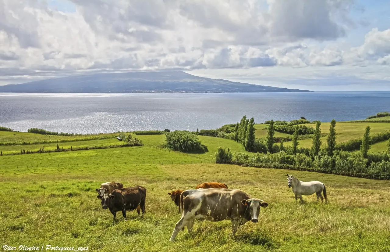
Photo: Vitor Oliveira from Torres Vedras, PORTUGAL · CC BY-SA 2.0
The walk begins in the centre of Ribeirinha, where the ruins of the 1934 church of São Mateus still bear the scars of the 1998 earthquake. It follows the coast past the old harbour of Boca da Ribeira and the Ribeirinha lighthouse, built in 1919 and likewise damaged by the quake, before climbing into the woods past the Ribeirinha viewpoint.
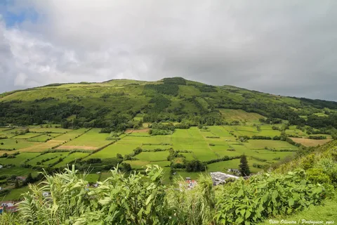
Beyond Espalhafatos, the path crosses farmland and pasture on old rural tracks once used to connect the island's villages, skirting the Lomba Grande protected area and the migratory-bird site of Charcos de Pedro Miguel. After the rest area at Cabouco Velho, a lapilli gravel road climbs to the viewpoint of Cabouco and finishes at the Caldeira, with a tunnel view into the crater.
At 17.5 km with about 1,220 m of climb, this is a steady uphill haul of around seven hours from the coast to the island's volcanic centre.
Elevation · from the official GPX
Up and down the trail
Plan your walk · MET Norway & IPMA
When to go
Pick a start time. We forecast where you'll be each hour — 9 m at the lowest point, 900 m at the top.
Official facts, our words
What to know
Trail facts
Difficulty Hard- Length
- 17.5 km
- Duration
- 7 hr
- Elevation gain
- 1,216 m
- Route
- Linear
- Highest point
- 900 m
- Steepest climb
- 30% at km 4.4
- Start
- Ribeirinha
- Finish
- Caldeira
- Permit
- Not required
- Trail code
- PR07FAI
Route and facts © Azores trails network (visitazores.com)