Trails · Easy
Ribeirinha
A village loop through Ribeirinha's coast and woods, past the island's oldest volcanic ground.
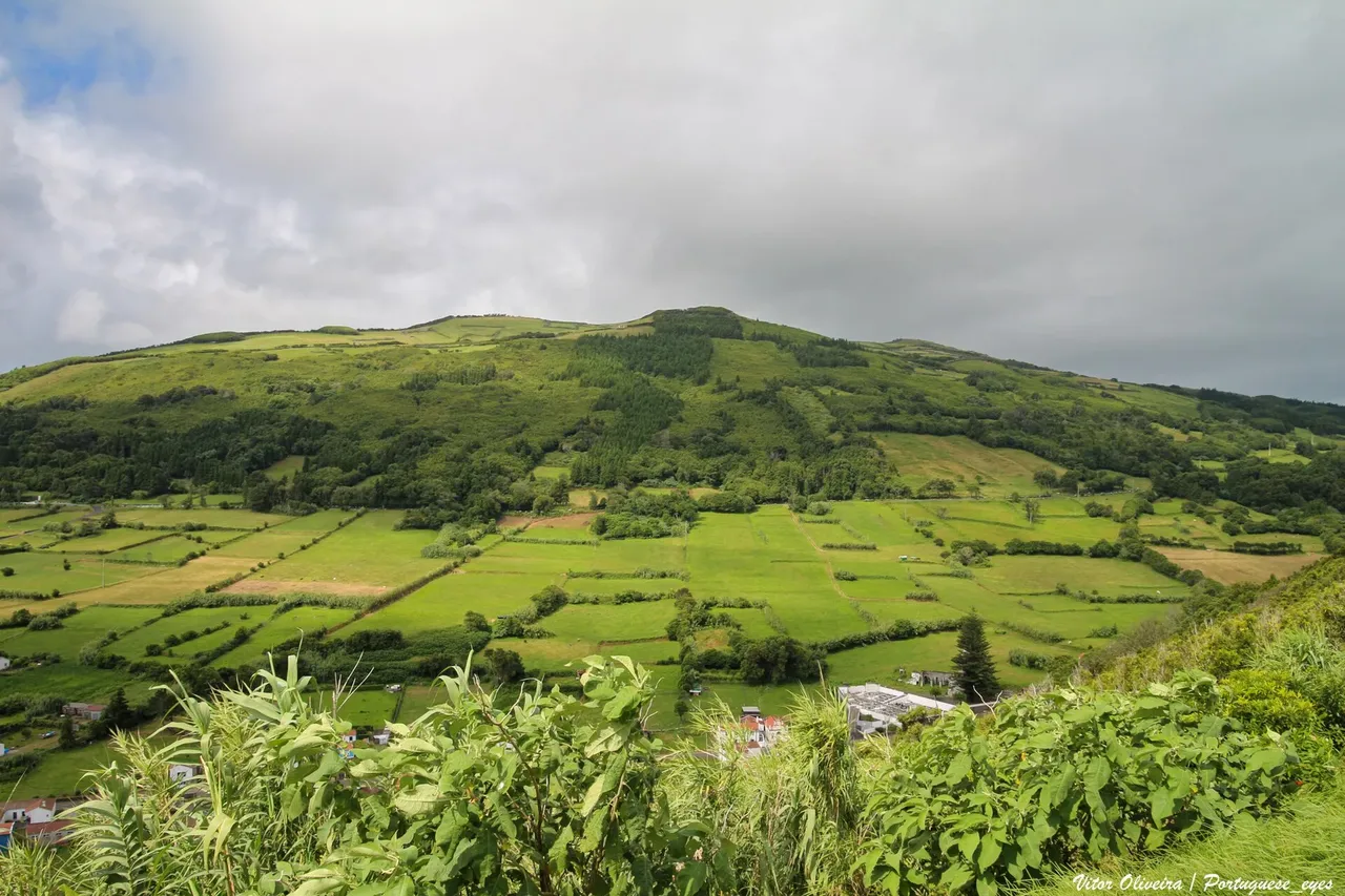
Photo: Vitor Oliveira from Torres Vedras, PORTUGAL · CC BY-SA 2.0
The walk starts at the centre of Ribeirinha, where the ruins of the 1934 church of São Mateus still show the scars of the 1998 earthquake, then follows the coast past the old fishing pier at Boca da Ribeira, now fitted with toilets and a picnic area. The path continues through woods of Japanese cedar and the endemic Azores juniper and heather, reaching the Ribeirinha lighthouse, built in 1919 and also damaged by the quake.
Further on, past the Ribeirinha viewpoint and a careful road crossing at Espalhafatos, a dirt road climbs through farmland and pasture, with an optional detour to the viewpoint of Pedras Negras. From there, the trail descends through the protected area of Lomba Grande, where it meets the Caminhos Velhos and Costa a Costa trails, down through the woods and across the regional road back into the village to close the loop.
At 8.3 km with about 550 m of climb, this loop is rated easy thanks to its gentle, steady grade, taking around two and a half hours.
Elevation · from the official GPX
Up and down the trail
Plan your walk · MET Norway & IPMA
When to go
Pick a start time. We forecast where you'll be each hour — 2 m at the lowest point, 373 m at the top.
Official facts, our words
What to know
Trail facts
Difficulty Easy- Length
- 8.3 km
- Duration
- 2 hr 30 min
- Elevation gain
- 547 m
- Route
- Circular
- Highest point
- 373 m
- Steepest climb
- 33% at km 2.3
- Start
- Ribeirinha village centre
- Finish
- Ribeirinha village centre
- Permit
- Not required
- Trail code
- PRC09FAI
Route and facts © Azores trails network (visitazores.com)