Trails · Hard
Faial Costa a Costa
A full-day crossing of Faial from the ancient shores of Ribeirinha to the raw young lava of Capelinhos, via the island's forested Caldeira.
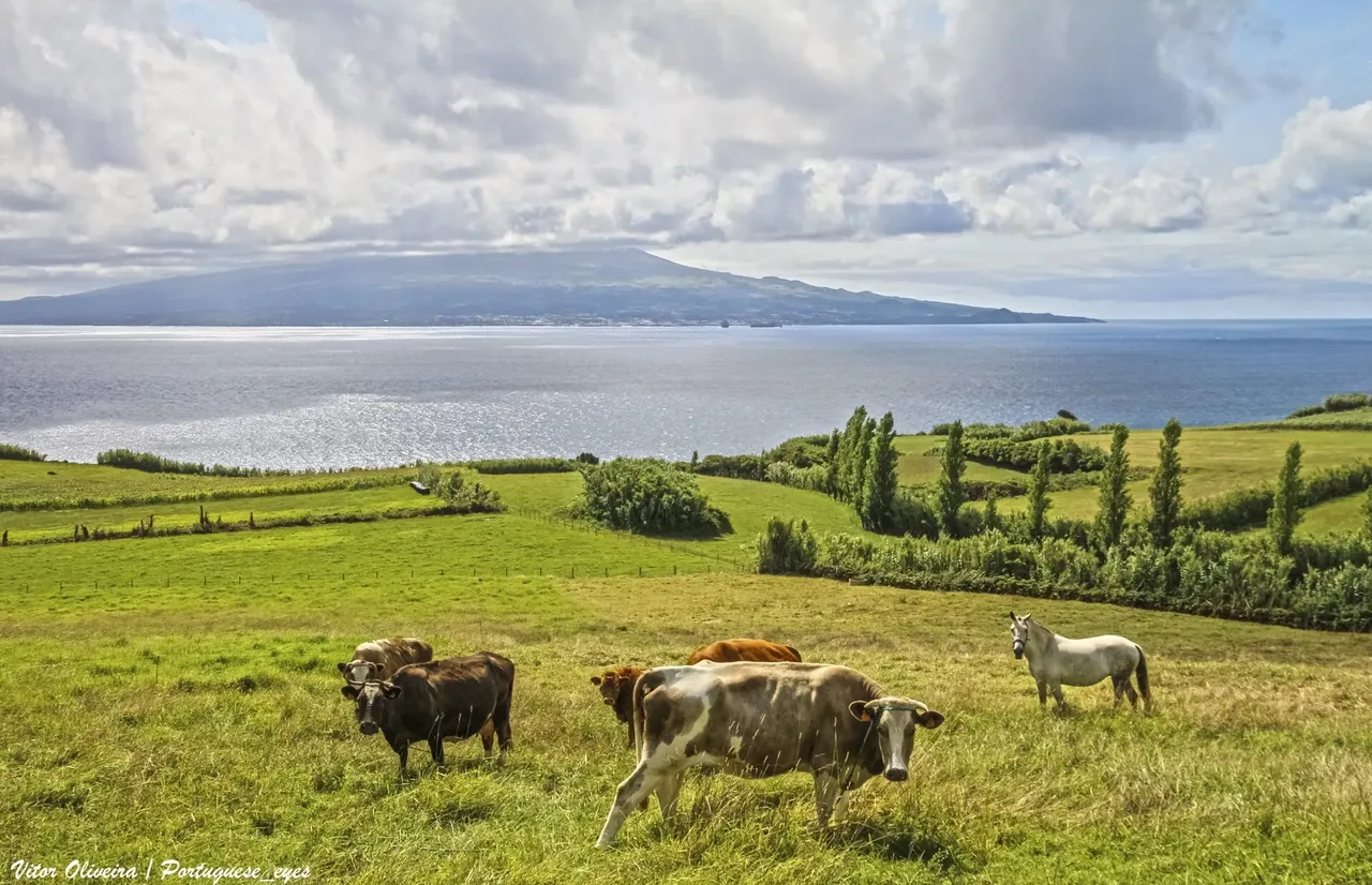
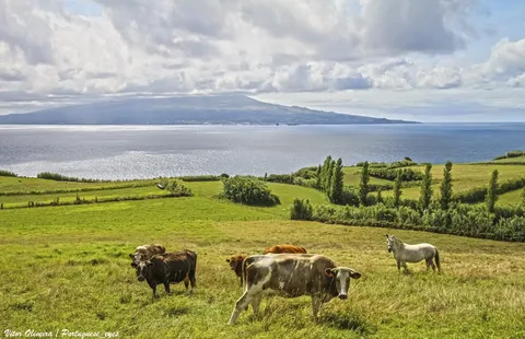
Photo: Vitor Oliveira from Torres Vedras, PORTUGAL · CC BY-SA 2.0
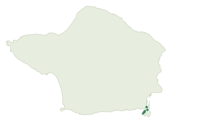
This crossing of Faial runs coast to coast, starting in Ribeirinha, the island's oldest and most easterly parish, where the earliest lava of Faial surfaced. From there the route climbs inland on old paths, passing the island's early volcanic cones before reaching Faial's Caldeira, a two-kilometre-wide dormant crater draped in dense laurel forest.
Beyond the Caldeira the trail turns west and descends through a string of younger volcanic cones until it reaches Capelinhos, the ash-covered, almost lunar landscape raised by the 1957-58 eruption. It finishes at the edge of this volcanic peninsula, the newest stretch of land in Europe.
At 36.8 km with about 1,840 m of climb, this is a full day's walk, typically around 12 hours end to end. Expect fog and wind near the Caldeira, where the route crosses 900 m, and loose volcanic ground on the final approach to Capelinhos; plan to start early and carry everything you need for the whole crossing.
Elevation · from the official GPX
Up and down the trail
Plan your walk · MET Norway & IPMA
When to go
Pick a start time. We forecast where you'll be each hour — 9 m at the lowest point, 923 m at the top.
Official facts, our words
What to know
Trail facts
Difficulty Hard- Length
- 36.8 km
- Duration
- 12 hr
- Elevation gain
- 1,858 m
- Route
- Linear
- Highest point
- 923 m
- Steepest descent
- 33% at km 27.9
- Start
- Ribeirinha
- Finish
- Capelinhos
- Permit
- Not required
- Trail code
- GR01FAI
Route and facts © Azores trails network (visitazores.com)