Trails · Easy
Chá Gorreana
An easy loop through Europe's oldest working tea plantation, climbing just high enough for a view over São Miguel's north coast.
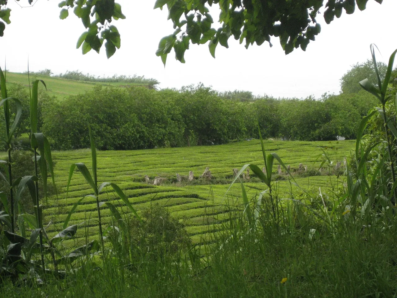
The walk starts at the car park of the Gorreana tea factory, which has been processing Camellia sinensis — first brought to the island in 1750 — since 1883, making it the oldest tea plantation in Europe. A gate leads out past the factory onto a dirt road that climbs gently, parallel to the main road, through the plantation and then a wood of Japanese cedar.
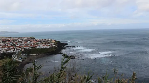
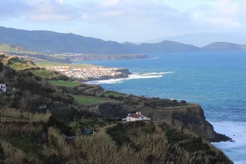
Beyond a stone bridge the route crosses pasture above both the tea fields and the woods, passing farm buildings and the last rows of tea bushes before reaching its highest point, where the view opens over São Miguel's north coast. From here it leaves the main road and drops down a narrow dirt track — once used by pickers during the harvest — back between the plantation rows to the factory.
It's an easy 3.3 km loop of about 90 minutes, with roughly 170 m of gentle climbing and the same back down. Finish where you started, with a cup of tea at the factory and a look at how it's grown and processed.
Elevation · from the official GPX
Up and down the trail
Plan your walk · MET Norway & IPMA
When to go
Pick a start time. We forecast where you'll be each hour — 207 m at the lowest point, 381 m at the top.
Official facts, our words
What to know
Trail facts
Difficulty Easy- Length
- 3.3 km
- Duration
- 1 hr 30 min
- Elevation gain
- 167 m
- Route
- Circular
- Highest point
- 381 m
- Steepest descent
- 26% at km 2.2
- Start
- Gorreana tea factory car park
- Finish
- Gorreana tea factory car park
- Permit
- Not required
- Trail code
- PRC28SMI
Route and facts © Azores trails network (visitazores.com)