Trails · Moderate
Moinhos da Ribeira Funda
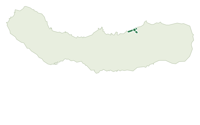
Old watermill ruins, waterfalls and a cliffside staircase above the north coast near Fenais da Ajuda.
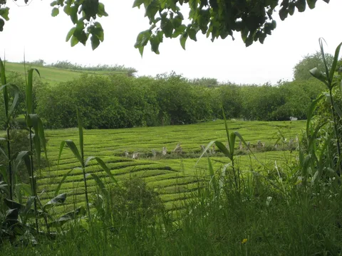
The walk starts at the chapel of Nossa Senhora da Aflição in Ribeira Funda and drops down a tarred road to a fork, then follows pasture into a wood of Japanese cedar, cheesewood, fayatree and cabaceira, where buzzards, blackbirds, robins and grey wagtails are common. The path descends past the ruins of an old levada and the watermills known as Moinhos do Crim, worth a slow look before the route climbs back to the main road.
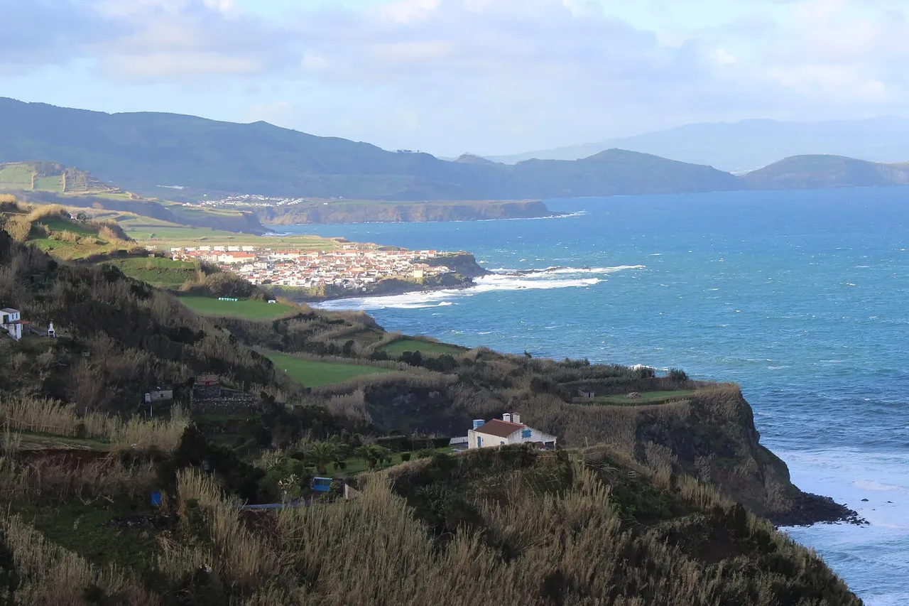
Following the stream's right bank past a second cluster of mills, a bridge crosses to the left bank, with a side connection to the Praia da Viola trail. Back on the right bank, the trail heads toward the stream mouth past a run of small waterfalls, then climbs a staircase cut into the cliff at Rocha do Padre do Norte, with views along the north coast toward Maia, Ponta do Cintrão and the Sete Cidades massif.
From the top of the cliff, a dirt road climbs back to the start. It's a medium walk of about 2 hours, with a sustained climb back up from the coast on the final stretch.
Elevation · from the official GPX
Up and down the trail
Plan your walk · MET Norway & IPMA
When to go
Pick a start time. We forecast where you'll be each hour — 25 m at the lowest point, 225 m at the top.
Official facts, our words
What to know
Trail facts
Difficulty Moderate- Length
- 3.2 km
- Duration
- 2 hr
- Elevation gain
- 583 m
- Route
- Circular
- Highest point
- 225 m
- Steepest climb
- 38% at km 5.0
- Start
- Chapel of Nossa Senhora da Aflição, Ribeira Funda
- Finish
- Chapel of Nossa Senhora da Aflição, Ribeira Funda
- Permit
- Not required
- Trail code
- PRC35SMI
Route and facts © Azores trails network (visitazores.com)