Trails · Easy
Praia da Viola
A north-coast trail from Lomba da Maia to Maia, down a stone staircase of old watermill ruins to one of the archipelago's most beautiful beaches.
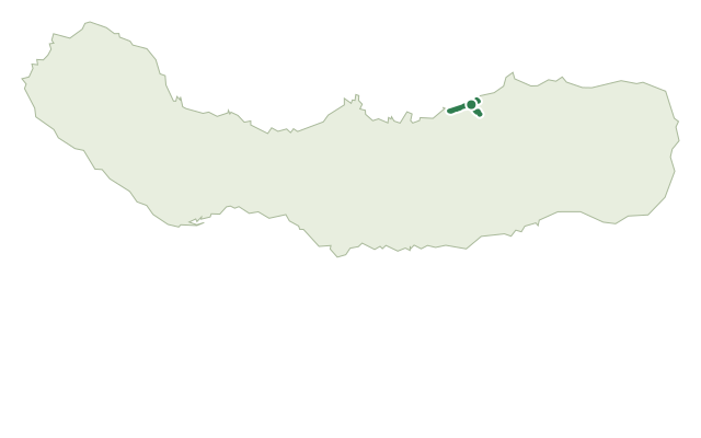
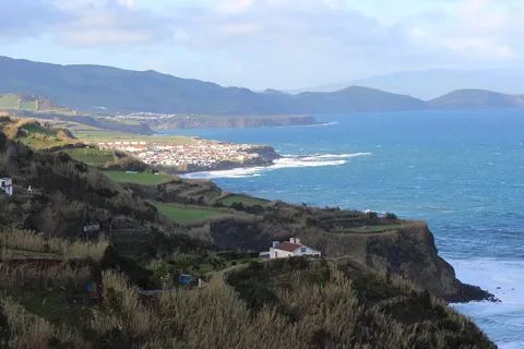
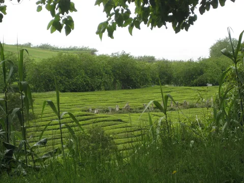
This easy trail starts in the centre of Lomba da Maia, in front of the Church of Nossa Senhora do Rosário, and heads toward the sea through farmland and pasture with views over the north coast toward Maia, Ponta Formosa and Ponta do Cintrão. Where the dirt road meets the tarmac near the Viola beach parking area, a stone staircase drops past the ruins of old watermills once powered by the Ribeira do Salto stream, which ground wheat and corn into flour for bread, once a staple for families across the village and the island.
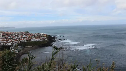
If the sea is calm, the path continues to Praia da Viola itself, a small, secluded beach flanked by cliffs with several water springs; in rough seas, the passage along the cliff is difficult, and it's better to take the alternative left-hand route. Partway along the beach, the ruins of more watermills, once fed by waterfalls here, come into view.
Beyond the mills, the trail climbs toward Maia, passing more old watermills, a coastal viewpoint, a set of old washing tanks once used by the village, and the bathing area of Porto Novo, a small bay popular in summer. At about 4.9 km and 2 hours, with around 110 m of climbing and over 200 m of descent, this is an easy coastal walk with one notably scenic beach in the middle.
Elevation · from the official GPX
Up and down the trail
Plan your walk · MET Norway & IPMA
When to go
Pick a start time. We forecast where you'll be each hour — 0 m at the lowest point, 148 m at the top.
Official facts, our words
What to know
Trail facts
Difficulty Easy- Length
- 4.9 km
- Duration
- 2 hr
- Elevation gain
- 111 m
- Route
- Linear
- Highest point
- 148 m
- Steepest descent
- 33% at km 0.0
- Start
- Lomba da Maia
- Finish
- Maia
- Permit
- Not required
- Trail code
- PR27SMI
Route and facts © Azores trails network (visitazores.com)