Trails · Moderate
Pedra Queimada - Degredo
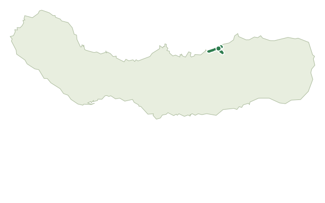
A varied loop from Largo de Santo António in Maia, between the Pedra Queimada climb, the Fonte Velha spring and the Calhau da Areia bathing area.
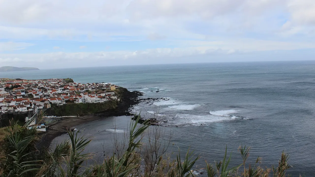
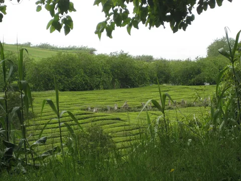
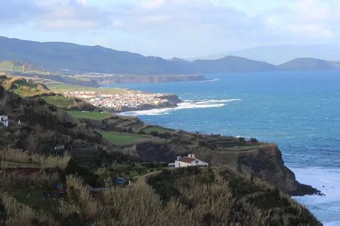
This loop starts at Largo de Santo António in the parish of Maia and climbs south on the Pedra Queimada dirt track to the Estrada Regional, then runs parallel to the road with views over the north coast, the parish of Maia, Ponta Formosa and Ponta do Cintrão.
The route then drops along the Caminho da Lajinha through farmland back to the road at Rua do Rosário, passing the spring-fed Fonte Velha, and continues toward the centre to the Calhau da Areia bathing area, where PR27 SMI connects on to Praia da Viola.
Signposted onward past the Miradouro de Melo Nunes, with access to a pebble shore, the trail hugs the coast past the Miradouro do Frade, the wastewater plant and the bridge over the Ribeira da Cruz, with a detour right to natural swimming pools.
The dirt track leads back to the Estrada Regional, where the route turns left into the parish interior past the Museu do Tabaco da Maia and the Solar de Lalém manor house, closing the loop at Largo de Santo António. At 6.4 km and about 2.5 hours, with roughly 450 m of climbing in total, it's a varied medium walk between coast and countryside.
Elevation · from the official GPX
Up and down the trail
Plan your walk · MET Norway & IPMA
When to go
Pick a start time. We forecast where you'll be each hour — 10 m at the lowest point, 263 m at the top.
Official facts, our words
What to know
Trail facts
Difficulty Moderate- Length
- 6.4 km
- Duration
- 2 hr 30 min
- Elevation gain
- 454 m
- Route
- Circular
- Highest point
- 263 m
- Steepest climb
- 34% at km 0.3
- Start
- Largo de Santo António
- Finish
- Largo de Santo António
- Permit
- Not required
- Trail code
- PRC36SMI
Route and facts © Azores trails network (visitazores.com)