Trails · Moderate
Fajã de Lopo Vaz
An out-and-back walk down a stone staircase to a warm, cliff-sheltered fajã on Flores' south coast.
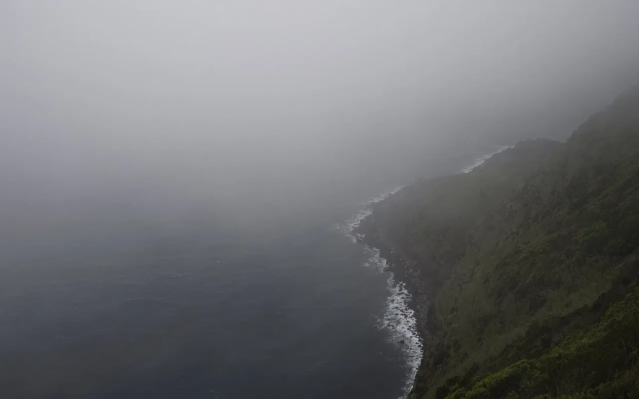
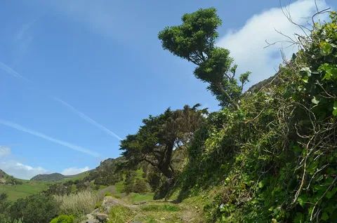
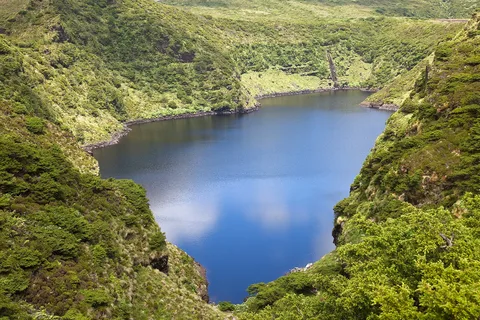
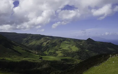
This is the only way in to Fajã de Lopo Vaz, named after one of the area's first settlers, who built the stone staircase that the trail still follows down from the picnic area at the start. Below, the detrital platform sits beneath cliffs over 350 m high, its south-facing position and low altitude giving it a warm microclimate that supports figs, araçás, currants and even bananas, all watered from the area's only spring.
The fajã and the nearby Ponta da Rocha Alta are both geosites of the Azores Geopark, and the area is an Important Bird Area where Cory's shearwater, the common tern and the roseate tern are known to nest. Exploring the fajã itself is left to each walker, but the way back up is the same stone staircase.
At 3.4 km round trip with about 294 m of climb each way, this there-and-back walk takes around two hours.
Elevation · from the official GPX
Up and down the trail
Plan your walk · MET Norway & IPMA
When to go
Pick a start time. We forecast where you'll be each hour — 9 m at the lowest point, 208 m at the top.
Official facts, our words
What to know
Trail facts
Difficulty Moderate- Length
- 3.4 km
- Duration
- 2 hr
- Elevation gain
- 294 m
- Route
- Circular
- Highest point
- 208 m
- Steepest climb
- 36% at km 2.9
- Start
- Fajã de Lopo Vaz picnic area
- Finish
- Fajã de Lopo Vaz picnic area
- Permit
- Not required
- Trail code
- PRC04FLO
Route and facts © Azores trails network (visitazores.com)