Trails · Moderate
Lajedo - Fajã Grande
A coastal walk past Flores' first-settled villages, a basalt-column landmark and the island's famous waterfall pools.
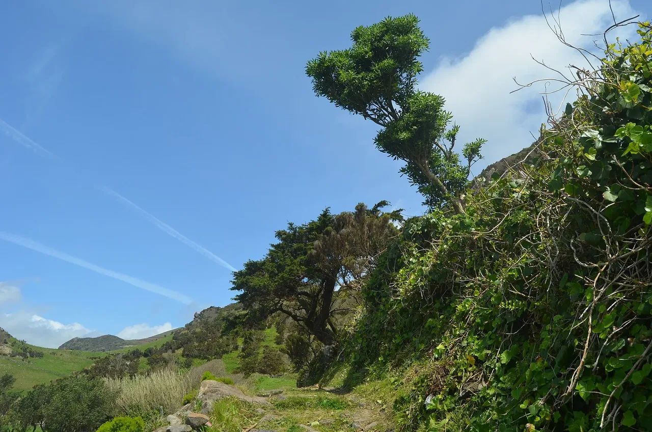
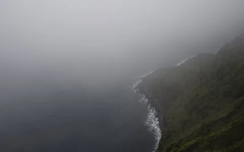
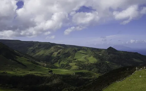
The route leaves Lajedo, the first village settled on the island's west side, and crosses three valleys along the southeastern coast, with rocky outcrops and views of Cartário islet, both nesting grounds for Cory's shearwater, the common tern and the roseate tern. It then passes through Mosteiro, the least populated of the island's villages, with some of the best views of Rocha dos Bordões, a geosite of more than 200 basalt columns resembling stacked staffs.
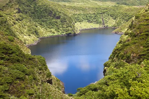
From the Portal viewpoint, one of the finest coastal outlooks in the Azores, the trail overlooks the geosites of Fajãzinha and Fajã Grande, where a roughly 300 m fossil cliff feeds waterfalls into ponds known locally as poços, among them Poço do Bacalhau and Poço da Ribeira do Ferreiro, also called Patas Lake. The route finishes among the villages of Fajãzinha, Fajã Grande and Ponta da Fajã.
At 13.2 km with about 690 m of climb and a steeper 910 m of descent, this moderate walk takes around three and a half hours, mostly downhill toward the coast.
Elevation · from the official GPX
Up and down the trail
Plan your walk · MET Norway & IPMA
When to go
Pick a start time. We forecast where you'll be each hour — 11 m at the lowest point, 311 m at the top.
Official facts, our words
What to know
Trail facts
Difficulty Moderate- Length
- 13.2 km
- Duration
- 3 hr 30 min
- Elevation gain
- 730 m
- Route
- Linear
- Highest point
- 311 m
- Steepest descent
- 36% at km 6.0
- Start
- Lajedo
- Finish
- Fajã Grande
- Permit
- Not required
- Trail code
- PR02FLO
Route and facts © Azores trails network (visitazores.com)