Trails · Hard
Grande Rota das Flores
Flores' longest trail, a two-stage coastal crossing from Santa Cruz to Lajedo past fajãs, waterfalls and seabird cliffs.
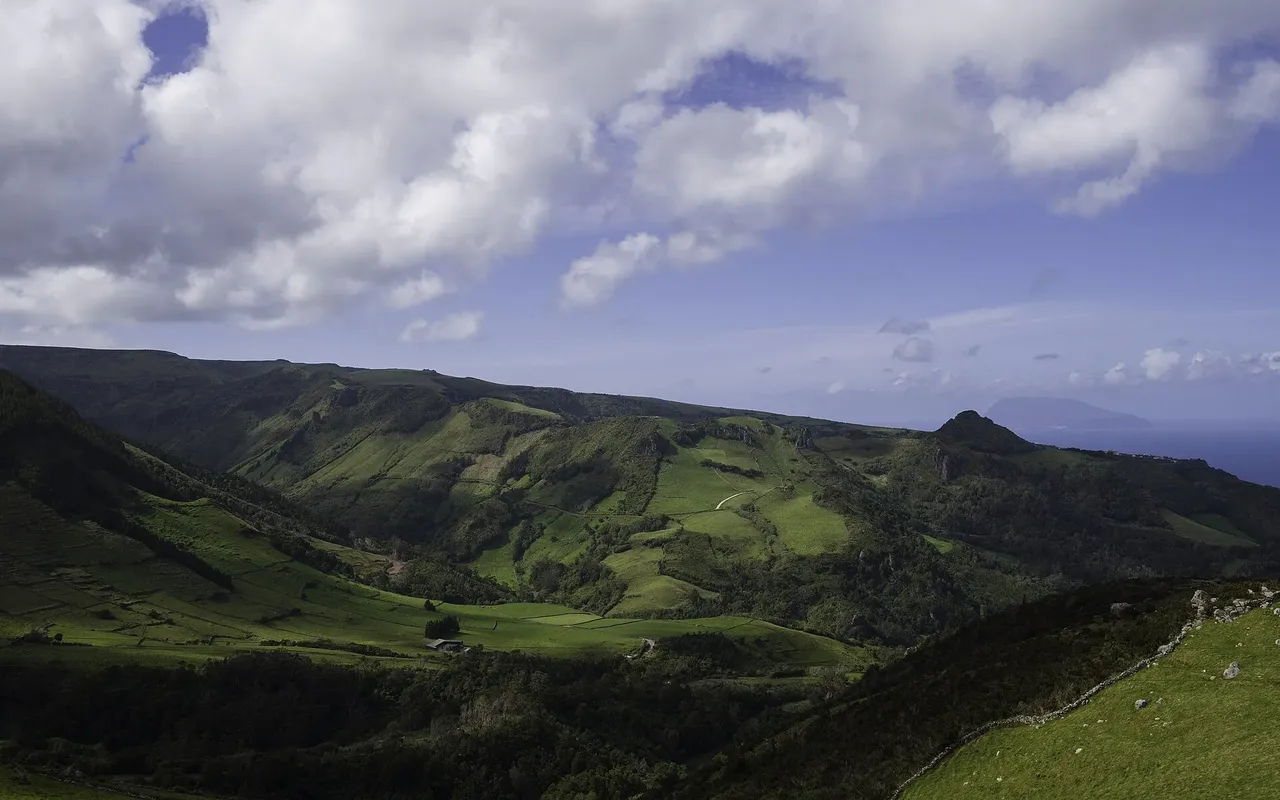
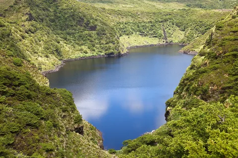
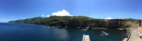
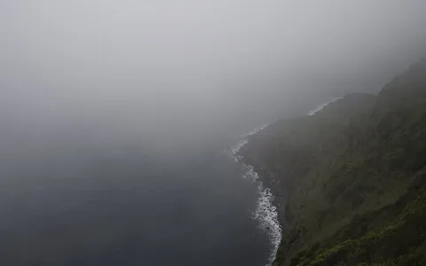
The route links the main village of Santa Cruz to the southwestern parish of Lajedo in two stages, roughly 21 km and 26 km long. The first runs from Santa Cruz to Ponta Delgada through broad valleys and streamlines that once powered a hydroelectric plant, then along the northeast coast's high cliffs, islets and coves, an important seabird nesting area.
The second stage leaves the low coastline between Ponta Delgada and Ponta do Albernaz for one of the Azores' great coastal landscapes: the lava and detrital fajãs of Fajã Grande and Fajãzinha, set below a roughly 300 m fossil cliff streaked with waterfalls, among them Poço da Alagoinha, a small lagoon at the cliff's base. Along the way the trail passes small settlements such as Mosteiros, Portugal's least populated parish, before finishing at Lajedo.
At around 47 km with close to 3,100 m of climb, this is by far Flores' longest trail and is almost always split across its two stages rather than walked in one push; supplies and restaurants are available in the rural centres along the way, including Ponta Delgada and Fajã Grande.
Elevation · from the official GPX
Up and down the trail
Plan your walk · MET Norway & IPMA
When to go
Pick a start time. We forecast where you'll be each hour — 10 m at the lowest point, 425 m at the top.
Official facts, our words
What to know
Trail facts
Difficulty Hard- Length
- 47 km
- Duration
- 18 hr
- Elevation gain
- 3,140 m
- Route
- Linear
- Highest point
- 425 m
- Steepest descent
- 47% at km 28.7
- Start
- Santa Cruz
- Finish
- Lajedo
- Permit
- Not required
- Trail code
- GR01FLO
Route and facts © Azores trails network (visitazores.com)