Trails · Hard
Ponta Delgada - Fajã Grande
A cliff-top walk across Flores' oldest lava flows, from Ponta Delgada to the waterfalls of Fajã Grande.
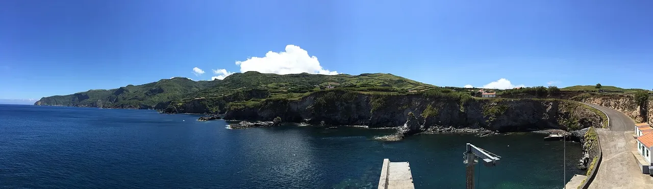
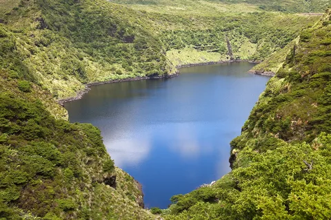
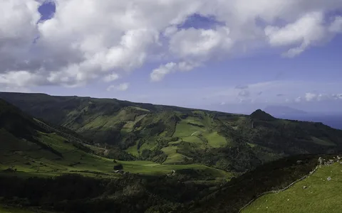
The trail runs from the centre of Ponta Delgada to Ponta do Albernaz, passing the lighthouse built there in 1925, pastures and valleys with views to Corvo, and a viewpoint over the Maria Vaz islet and the Ponta do Albernaz-Ponta Delgada geosite, among the island's oldest lava flows. From there, wide paths cross water lines and endemic flora near Ponta do Albernaz, with sight of the Monchique islet, a geosite 1,500 m offshore and the westernmost point of Europe.
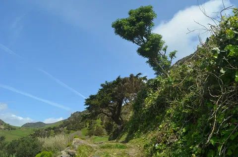
In the final 4 km, from Rocha do Risco, Fajã Grande comes into view as the path runs along the cliff above the open Atlantic, through Azores juniper forest, before dropping through the roughly 300 m fossil cliff on waterfalls between Ponta da Fajã and Fajã Grande, where the trail ends. The Maria Vaz islet is an important nesting reserve for the yellow-legged gull, and the clifftop stretch is also home to Cory's shearwater and the common tern.
At 12 km with about 680 m of climb, this is a steady cliff-top walk of around four and a half hours.
Elevation · from the official GPX
Up and down the trail
Plan your walk · MET Norway & IPMA
When to go
Pick a start time. We forecast where you'll be each hour — 10 m at the lowest point, 423 m at the top.
Official facts, our words
What to know
Trail facts
Difficulty Hard- Length
- 12 km
- Duration
- 4 hr 30 min
- Elevation gain
- 722 m
- Route
- Linear
- Highest point
- 423 m
- Steepest descent
- 64% at km 8.7
- Start
- Ponta Delgada
- Finish
- Fajã Grande
- Permit
- Not required
- Trail code
- PR01FLO
Route and facts © Azores trails network (visitazores.com)