Trails · Easy
Fortes de São Sebastião
An easy coastal walk past four centuries-old forts on Terceira's southeast shore, ending in the village of São Sebastião.
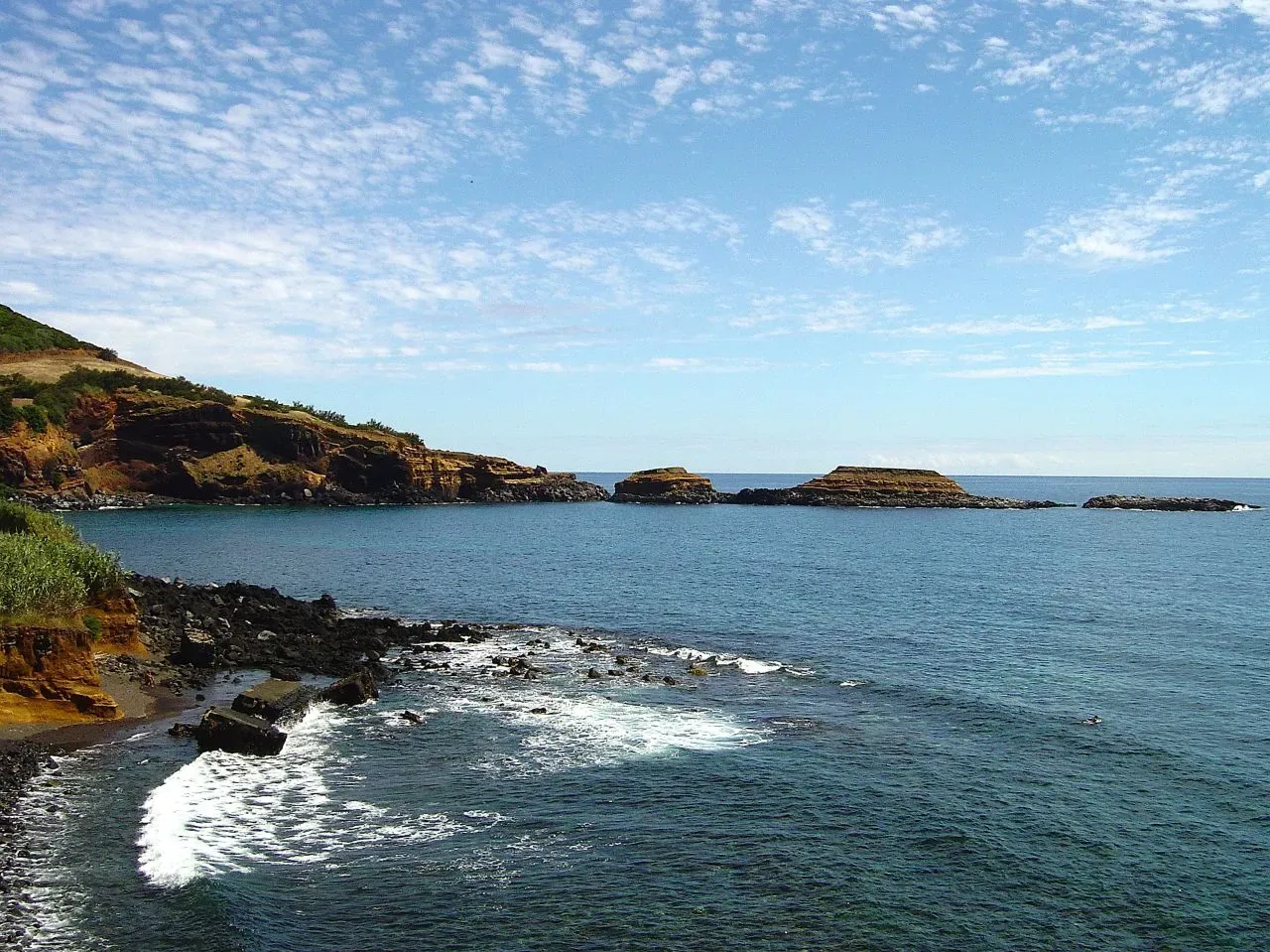
Photo: Vitor Oliveira from Torres Vedras, PORTUGAL · CC BY-SA 2.0
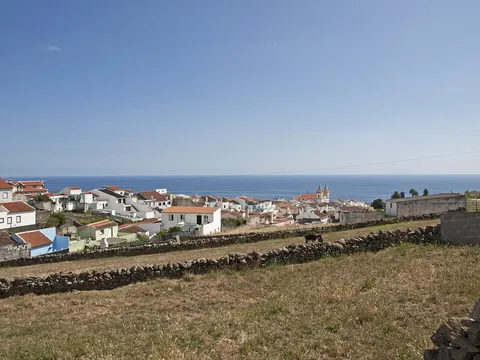
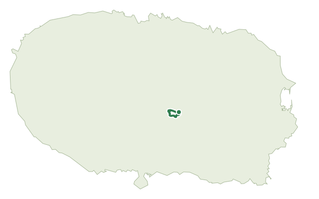
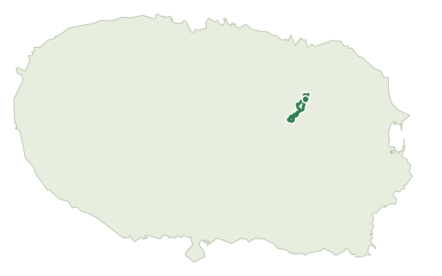
This short coastal route runs along Terceira's southeast shore, in the volcanic massif of Cinco Picos, following the line of forts that once defended the island from the sea. It alternates between open stretches along the cliffs and quieter paths through fields and small woods.
From the road toward Ponta das Contendas, with views of the lighthouse and the Ilhéu das Cabras, the path drops past the 16th-century forts of Greta and Santa Catarina das Mós above Baía da Mina, a bay popular with surfers. Further on it passes the 17th-century Forte do Bom Jesus, a wood of Azorean heather and the Forte do Pesqueiro dos Meninos before climbing into São Sebastião past an old, rebuilt watermill and the chapels of Nossa Senhora da Graça and Sant'Ana, finishing at the village's main square.
It's rated easy and covers under 6 km in around two and a half hours, but the path climbs and drops repeatedly along the cliff edge, adding up to over 400 m of ascent by the end.
Elevation · from the official GPX
Up and down the trail
Plan your walk · MET Norway & IPMA
When to go
Pick a start time. We forecast where you'll be each hour — 0 m at the lowest point, 155 m at the top.
Official facts, our words
What to know
Trail facts
Difficulty Easy- Length
- 5.9 km
- Duration
- 2 hr 30 min
- Elevation gain
- 428 m
- Route
- Linear
- Highest point
- 155 m
- Steepest climb
- 35% at km 2.2
- Start
- Ponta das Contendas
- Finish
- São Sebastião
- Permit
- Not required
- Trail code
- PR05TER
Route and facts © Azores trails network (visitazores.com)