Trails · Moderate
Lomba da Fazenda
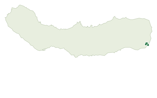
A coastal loop from Lomba da Fazenda past old watermills, a bathing cove and clifftop endemic-plant gardens on São Miguel's northeast shore.
The walk starts at the garden by the church of Nossa Senhora da Conceição in Lomba da Fazenda and heads toward the camping ground, crossing the Ribeira do Guilherme stream past old watermills and a 1982 fountain. It climbs through a wood of Japanese cedar, cheesewood and blackwood, with an optional detour into Nordeste village, before dropping to the bathing area of Boca da Ribeira.
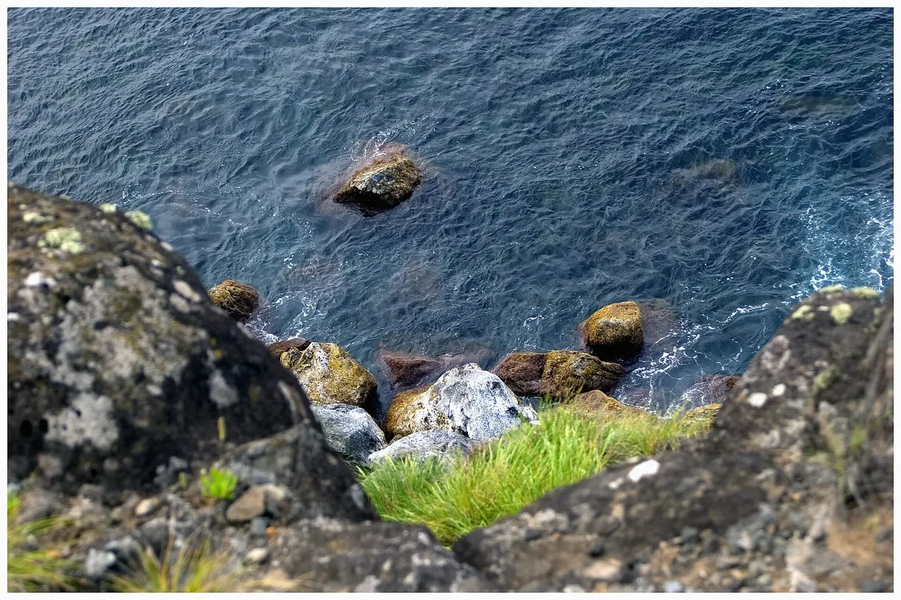
From the cove, a dirt road climbs the cliff through fields and pasture to the shoreline, where the trail crosses a stream into the Parque das Endémicas do Pelado, named for the dry, low-growing endemic vegetation found here. The coastal stretch passes a detour to a small harbour once used to unload supplies, before a tarred road leads back toward Lomba da Fazenda.
A short detour before the end takes in Parque da Morgada, a picnic spot with old stone washing sinks, before the loop closes at the church. It's a medium walk of about 6 km and 2.5 hours, with roughly 480 m of climbing as the route drops to the coast and back up twice.
Elevation · from the official GPX
Up and down the trail
Plan your walk · MET Norway & IPMA
When to go
Pick a start time. We forecast where you'll be each hour — 4 m at the lowest point, 142 m at the top.
Official facts, our words
What to know
Trail facts
Difficulty Moderate- Length
- 6 km
- Duration
- 2 hr 30 min
- Elevation gain
- 477 m
- Route
- Circular
- Highest point
- 142 m
- Steepest climb
- 26% at km 3.9
- Start
- Church of Nossa Senhora da Conceição, Lomba da Fazenda
- Finish
- Church of Nossa Senhora da Conceição, Lomba da Fazenda
- Permit
- Not required
- Trail code
- PRC31SMI
Route and facts © Azores trails network (visitazores.com)