Trails · Hard
Pico da Vara
A demanding climb to São Miguel's highest point, rewarded with sweeping views over Furnas, Povoação and the island's volcanic massifs.
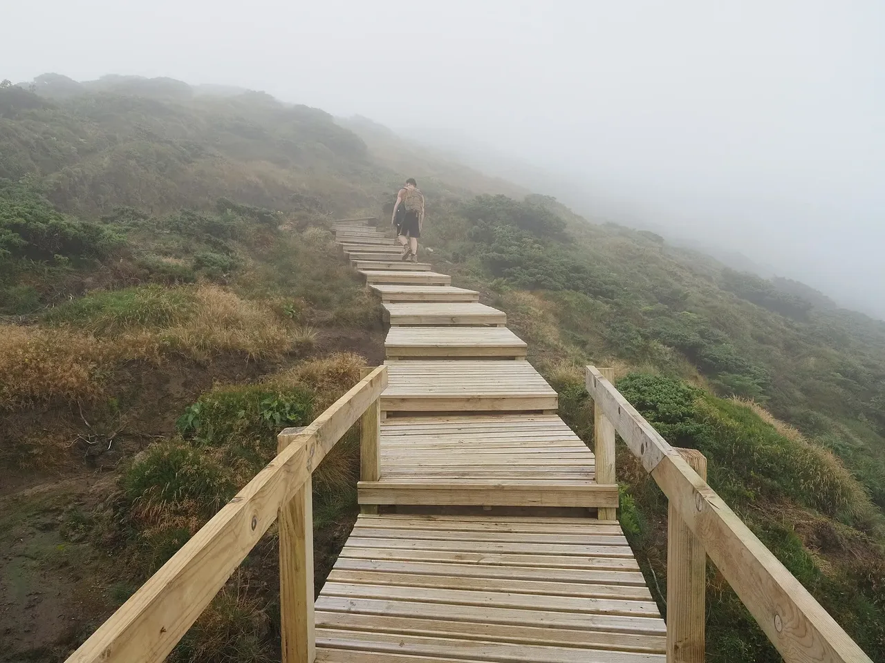
The trail leaves the old Atalhada Forest Guard House above Santo António Nordestinho and climbs through the protected woodland of the Pico da Vara Nature Reserve. An early viewpoint looks back over Santo António Nordestinho and Algarvia before the path follows old roads, once used to move coal and cattle between Nordeste and Povoação, beneath tall Japanese cedars.
Near the top, native cover takes over: Azores juniper, Azorean holly and heather, and peat bogs that feed the island's water supply. The geodesic marker on the summit, at 1,088 m the highest point on São Miguel, opens onto the Povoação crater, the Planalto dos Graminhais, the Furnas crater and lake, and the distant massifs of Fogo and Sete Cidades.
It's a hard loop of about 7.3 km and 3 hours, with roughly 630 m of climbing each way, mostly on the way up to the summit and down through managed cedar forest afterward. A small endemic plant garden near the Guard House is worth a look before you head back.
Elevation · from the official GPX
Up and down the trail
Plan your walk · MET Norway & IPMA
When to go
Pick a start time. We forecast where you'll be each hour — 466 m at the lowest point, 1,088 m at the top.
Official facts, our words
What to know
Trail facts
Difficulty Hard- Length
- 7.3 km
- Duration
- 3 hr
- Elevation gain
- 630 m
- Route
- Circular
- Highest point
- 1,088 m
- Steepest descent
- 30% at km 5.5
- Start
- Atalhada Forest Guard House
- Finish
- Atalhada Forest Guard House
- Permit
- Not required
- Trail code
- PRC07SMI
Route and facts © Azores trails network (visitazores.com)