Trails · Moderate
Lomba d'El-Rei
A village loop past river-mouth ferns, watermill ruins and a high bridge on the Nordeste motorway, with views to Fenais da Ajuda and Achadinha.
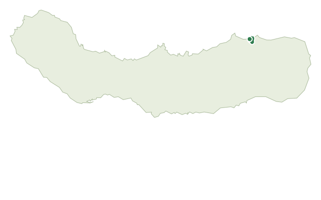
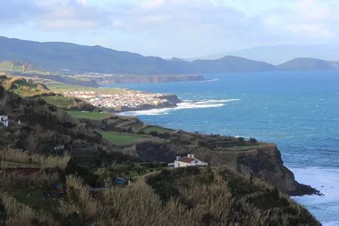
The walk starts near the church of Nossa Senhora do Rosário, in the middle of the village, and climbs the Hill of Moio de Baixo through stands of giant reed, fayatree and heather. From the high point there are views west to Fenais da Ajuda and east to Achadinha, before the path crosses cultivated land and drops to the mouth of the Ribeira do Lenho, among incense and fern.
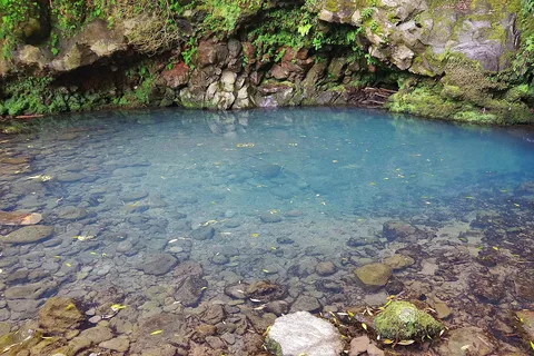
After crossing the stream, the route follows a paved road alongside the water, climbing slightly to Ribeira do Lenho and Ribeira dos Caldeirões, where the ruins of an old watermill sit near the foot of one of the highest bridges on the Nordeste motorway. From there it continues through a wood of Japanese cedar to the top of the Lomba d'El-Rei hill and crosses over the motorway on a paved road.
A shortcut on the far side leads to the old Fonte Velha spring and the water tanks that once served the village, before a farm track ends at the garden of Eira Velha, now Rua Formosa, which drops back down to the church. It's a medium loop of 4.3 km and about 2 hours, with roughly 460 m of combined climbing and descending between the two hills and the river mouth.
Elevation · from the official GPX
Up and down the trail
Plan your walk · MET Norway & IPMA
When to go
Pick a start time. We forecast where you'll be each hour — 5 m at the lowest point, 181 m at the top.
Official facts, our words
What to know
Trail facts
Difficulty Moderate- Length
- 4.3 km
- Duration
- 2 hr
- Elevation gain
- 240 m
- Route
- Circular
- Highest point
- 181 m
- Steepest descent
- 48% at km 1.2
- Start
- Church of Nossa Senhora do Rosário
- Finish
- Church of Nossa Senhora do Rosário
- Permit
- Not required
- Trail code
- PRC38SMI
Route and facts © Azores trails network (visitazores.com)