Trails · Moderate
Padrão Alminhas/Salto da Farinha
A trail from Achadinha to the Salto da Farinha waterfall viewpoint, through monuments, a working levada and a 40-metre fall.
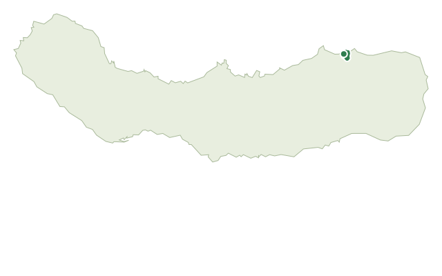
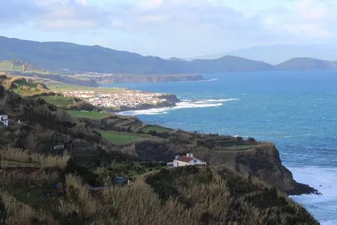
This moderate trail connects the parishes of Achadinha and Salga, starting at the Achadinha Garden beside an obelisk marking the 1831 landing of the Liberal Troops and the Padrão das Alminhas, a monument tied to a local religious tradition dating to the 17th century. Just past the start, it passes Casa João Melo, dedicated to the life and work of the Azorean writer.
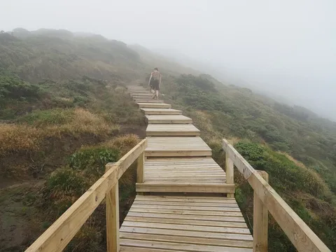
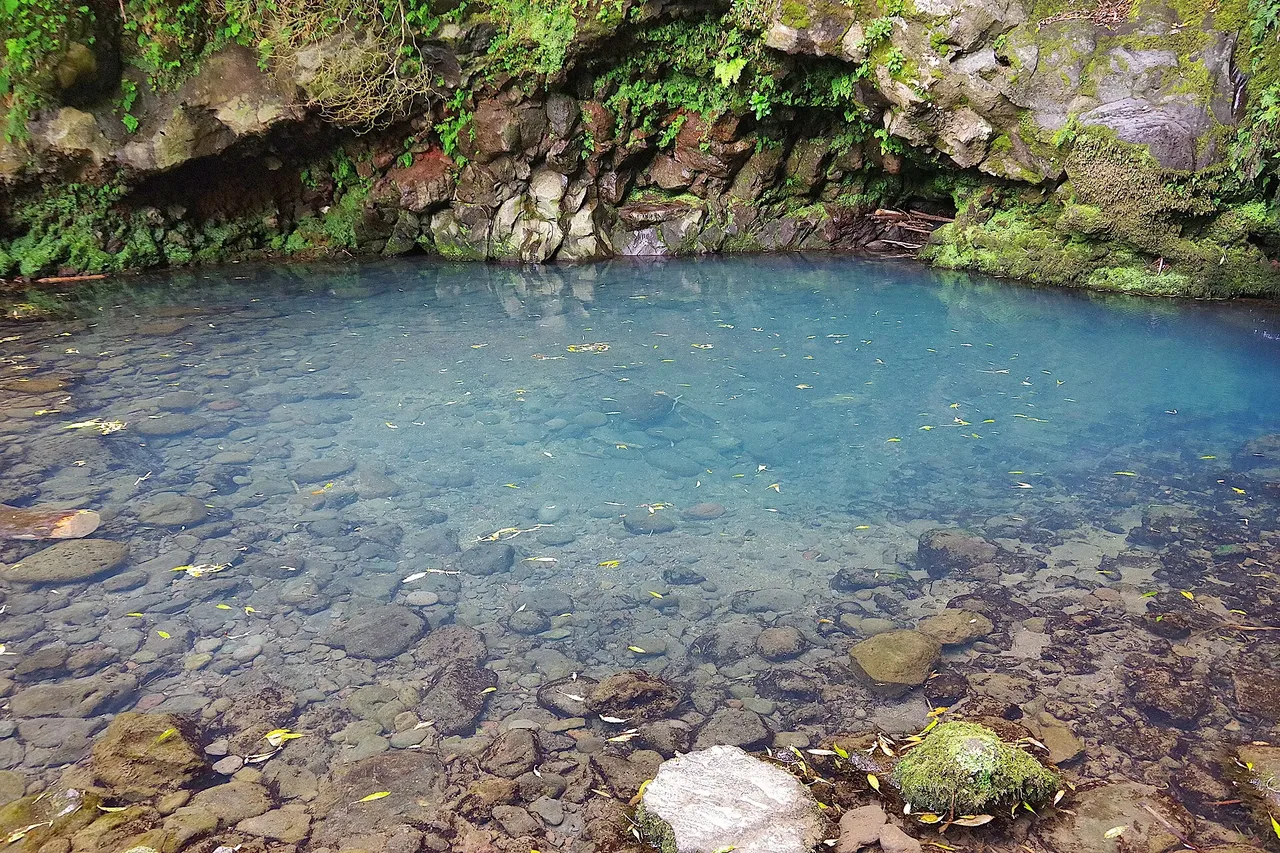
Heading toward Risco, the route follows an old levada that once fed a watermill, passing several waterfalls on the way up, with a detour to the scenic spot of Poço Azul. At a fork, the main route branches toward the valley of the Salto da Farinha Geosite, with a further detour near the Fojo picnic area to the top of the Salto da Farinha, a roughly 40 m waterfall that forms a small pool below.
The trail ends at the Salto da Farinha viewpoint, overlooking a river valley with slope deposits and a pebble beach, where the stream meets the sea over steep cliffs on the north coast. At about 4.3 km and 2 hours, with around 245 m of climbing and 380 m of descent, the effort is front-loaded on the way up to Risco.
Elevation · from the official GPX
Up and down the trail
Plan your walk · MET Norway & IPMA
When to go
Pick a start time. We forecast where you'll be each hour — 33 m at the lowest point, 190 m at the top.
Official facts, our words
What to know
Trail facts
Difficulty Moderate- Length
- 4.3 km
- Duration
- 2 hr
- Elevation gain
- 245 m
- Route
- Linear
- Highest point
- 190 m
- Steepest climb
- 30% at km 1.6
- Start
- Achadinha Garden
- Finish
- Salto da Farinha viewpoint
- Permit
- Not required
- Trail code
- PR21SMI
Route and facts © Azores trails network (visitazores.com)