Trails · Easy
Morro de Castelo Branco
An easy cliff-top loop to a volcanic peninsula that hosts some of Faial's seabird colonies.
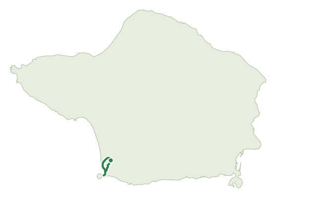
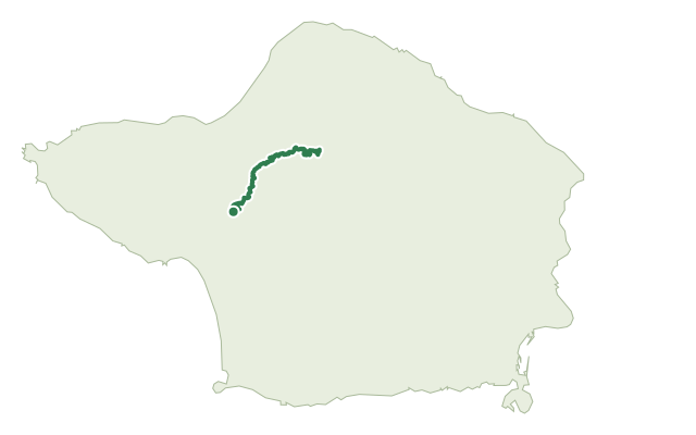
The walk starts at Lombega, near the regional road, passing a café before following a dirt track through cultivated fields to the cliff edge. The path runs close to the cliff among heather, fayatree and giant reed, with a viewpoint over the younger landscape of Capelinhos along the way.
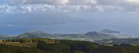
Ahead lies Morro do Castelo Branco, a trachyte dome formed by a coastal eruption about 300,000 years ago and now a nesting site for Cory's shearwater, common tern, roseate tern and Barolo shearwater; a short detour leads out onto the headland itself, with a view east to Pico. The return follows the same road back through fields and pastures to the regional road.
At 3.7 km with about 165 m of climb, this is an easy outing of around an hour and a half.
Elevation · from the official GPX
Up and down the trail
Plan your walk · MET Norway & IPMA
When to go
Pick a start time. We forecast where you'll be each hour — 47 m at the lowest point, 199 m at the top.
Official facts, our words
What to know
Trail facts
Difficulty Easy- Length
- 3.7 km
- Duration
- 1 hr 30 min
- Elevation gain
- 164 m
- Route
- Circular
- Highest point
- 199 m
- Steepest descent
- 17% at km 0.9
- Start
- Lombega
- Finish
- Lombega
- Permit
- Not required
- Trail code
- PRC05FAI
Route and facts © Azores trails network (visitazores.com)