Trails · Moderate
Nascentes de Santo António
A short, steep walk down Santo António's old mill streams from Fonte Grande to a fishing harbour and bathing spot, ending at the parish church.
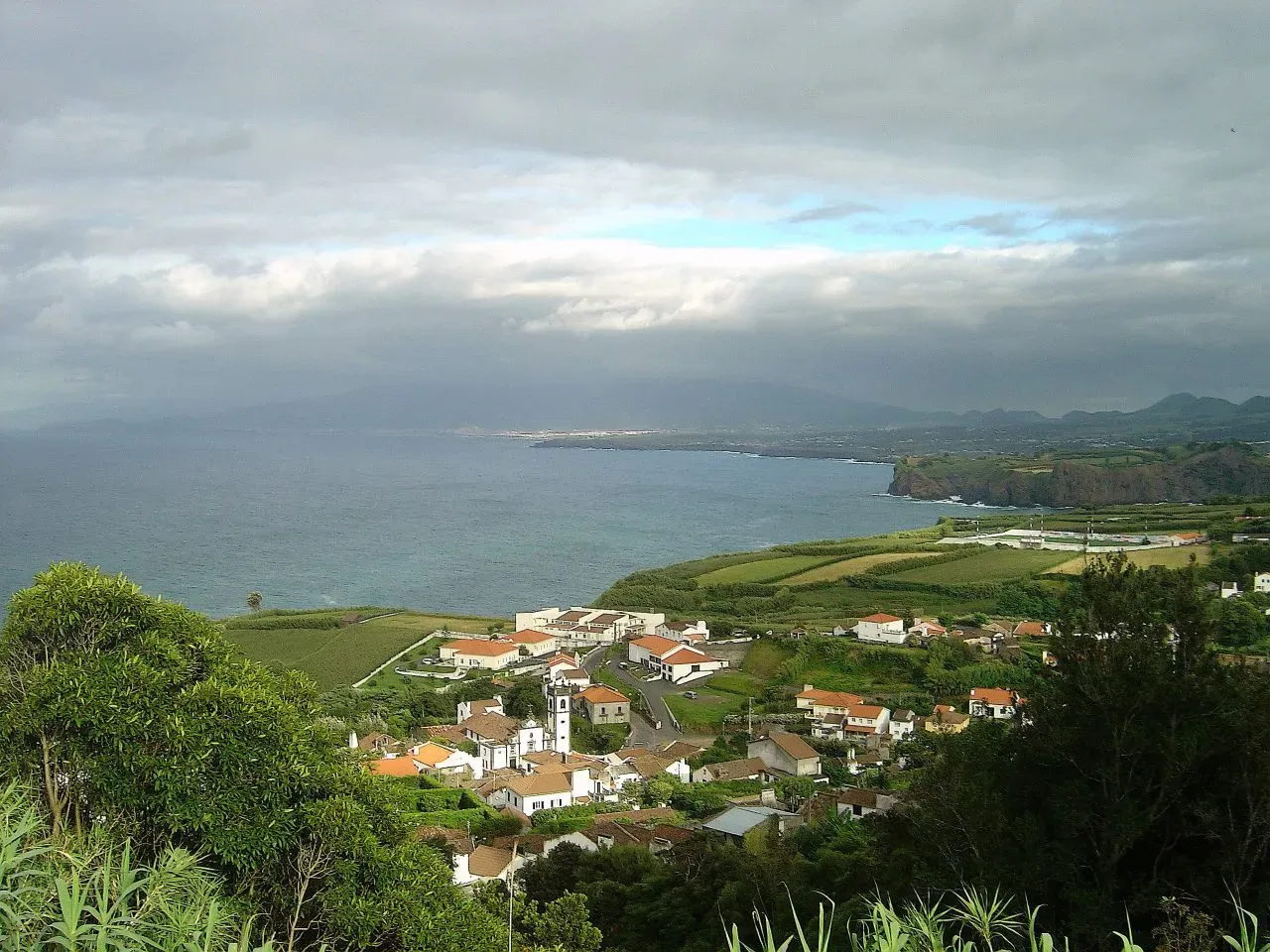
Photo: Vitor Oliveira from Torres Vedras, PORTUGAL · CC BY 2.0
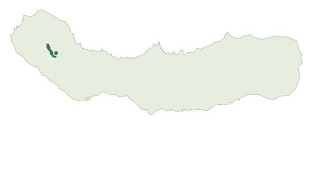
Nascentes de Santo António follows the streams that give this north-coast parish its name, cutting down the slope from the road above to the coast at Santo António. The path drops by a concrete lane to the picnic area at Fonte Grande, with an optional there-and-back detour to a set of old washing pits, recently restored, where villagers once did their laundry.
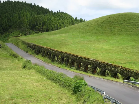
The route continues down a dirt track that once served the local watermills, known as the Moinhos da Cruz or da Rocha, now reduced to small water-catchment tanks feeding the public supply; giant reed lines much of the way. The descent ends at a house holding an old hydroelectric plant, bought from the French company Société d'Électricité Alioth in 1908 by a local industrialist to power a new mill and a handful of homes.
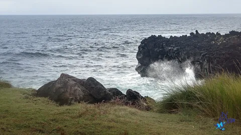
Past a waterfall, an optional detour leads to a pebble shore looking along the north coast toward Capelas, before the path climbs a cliff — vertigo-prone walkers should take care here — and continues along the clifftop to a pasture, then drops to the old fishing harbour of Santo António.
The way rounds Ponta de Santo António past the harbour to the Rosário bathing area, where conditions allow a swim in the Atlantic, and on past a picnic spot and the Ermida do Rosário chapel. At under 3 km and about 90 minutes, with roughly 215 m of climbing and nearly 300 m of descent, it finishes on the asphalt road by the Church of Santo António, where the parish's settlement began.
Elevation · from the official GPX
Up and down the trail
Plan your walk · MET Norway & IPMA
When to go
Pick a start time. We forecast where you'll be each hour — 3 m at the lowest point, 136 m at the top.
Official facts, our words
What to know
Trail facts
Difficulty Moderate- Length
- 2.8 km
- Duration
- 1 hr 30 min
- Elevation gain
- 216 m
- Route
- Linear
- Highest point
- 136 m
- Steepest descent
- 33% at km 0.6
- Start
- Fonte Grande
- Finish
- Church of Santo António
- Permit
- Not required
- Trail code
- PR17SMI
Route and facts © Azores trails network (visitazores.com)