Trails · Easy
Vigia de São Pedro
A gentle coastal walk on São Miguel's north shore, past old whaling landmarks and a dramatic cliff opening, from São Vicente Ferreira to Calhetas.
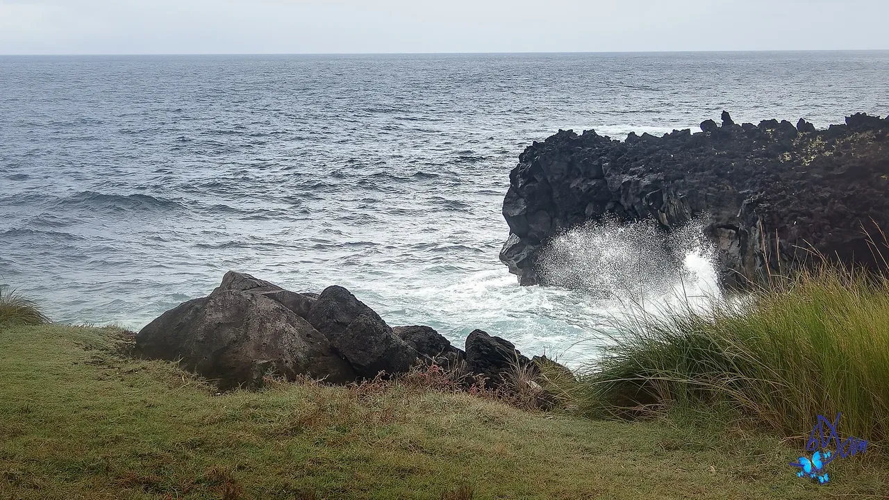
Photo: bDom - artiste - www.bdom.info from Enghien, Belgique · CC BY 2.0
This easy walk follows São Miguel's north coast from São Vicente Ferreira to Calhetas, staying close to the sea for almost its whole length. It starts by the Poços de São Vicente bathing pools, once the island's busiest fishing port in the whaling era, with the ruins of an old whale-oil factory still standing across the road.
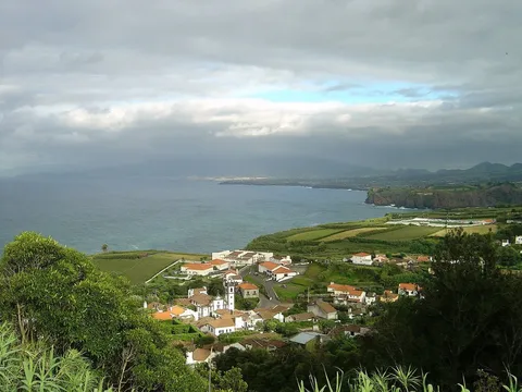
Past a small parking area and a quiet residential stretch, the trail reaches Fenais da Luz, where a short detour leads to a viewpoint over the rugged north coast toward Pontas de São Pedro, Cintrão and Fenais da Ajuda. Beyond a row of 17th- and 18th-century houses, it passes the 16th-century Chapel of São Pedro and a dramatic cliff opening known locally as the São Pedro hole.
At about 6 km and roughly 2 hours, with only around 180 m of climbing, this is a gentle, mostly flat outing that ends by the 1728 Church of Nossa Senhora da Boa Viagem in Calhetas.
Elevation · from the official GPX
Up and down the trail
Plan your walk · MET Norway & IPMA
When to go
Pick a start time. We forecast where you'll be each hour — 5 m at the lowest point, 42 m at the top.
Official facts, our words
What to know
Trail facts
Difficulty Easy- Length
- 6 km
- Duration
- 2 hr
- Elevation gain
- 184 m
- Route
- Linear
- Highest point
- 42 m
- Steepest climb
- 8% at km 1.4
- Start
- Poços de São Vicente
- Finish
- Calhetas
- Permit
- Not required
- Trail code
- PR01SMI
Route and facts © Azores trails network (visitazores.com)