Trails · Easy
Prainha do Norte
A coastal loop from Prainha through basalt-walled vineyards and seabird heathland to two of Pico's best bathing spots.
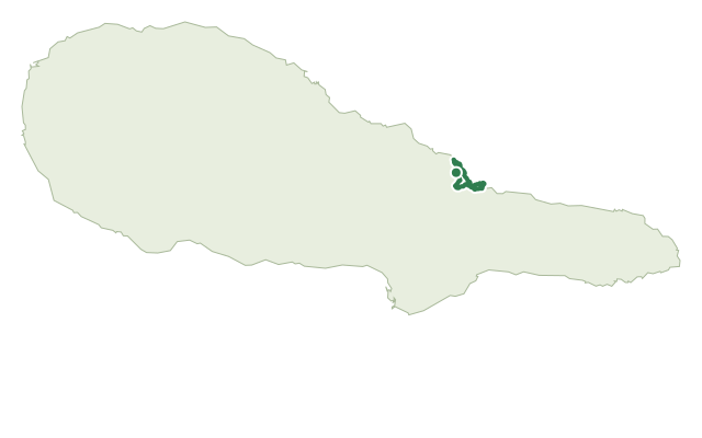
The loop starts at Dr. José Machado Serpa square in the centre of Prainha, overlooked by the Church of Nossa Senhora da Ajuda, the parish council and the Império do Espírito Santo, then heads out through small farms, orchards and vineyards walled in black basalt corrals.
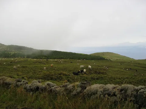
Near Canto da Areia bay the trail crosses the old vineyard area of Morro, now reverted to heathland of Azores heather, pau branco and fire tree — an important nesting area for Cory's shearwater — before reaching the viewpoint at Ponta da Rocha, with views over the Santo Amaro and Prainha parishes.
Heritage stops along the way include the ruins of the parish's earliest houses, the Casa do Fio — once used to spin carded wool and as a mooring post for the old submarine telephone cable — and the São Pedro chapel, whose cross base has a carved human face.
Closer to the coast you pass a tidal pool and a windmill, and two good bathing spots, Canto da Areia and Poça Branca, before the 8.8 km loop returns to the square, with about 245 m of climbing along the way.
Elevation · from the official GPX
Up and down the trail
Plan your walk · MET Norway & IPMA
When to go
Pick a start time. We forecast where you'll be each hour — 3 m at the lowest point, 134 m at the top.
Official facts, our words
What to know
Trail facts
Difficulty Easy- Length
- 8.8 km
- Elevation gain
- 246 m
- Route
- Circular
- Highest point
- 134 m
- Steepest descent
- 16% at km 1.6
- Start
- Dr. José Machado Serpa square, Prainha
- Finish
- Dr. José Machado Serpa square, Prainha
- Permit
- Not required
- Trail code
- PRC09PIC
Route and facts © Azores trails network (visitazores.com)