Trails · Moderate
Caldeiras da Ribeira Grande - Salto do Cabrito
A hot-spring-to-waterfall loop past two old hydroelectric plants and a geothermal station above Ribeira Grande.
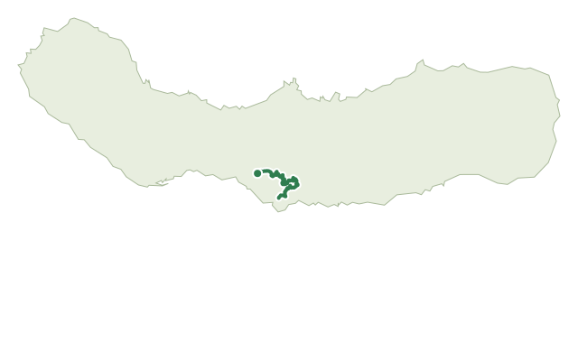
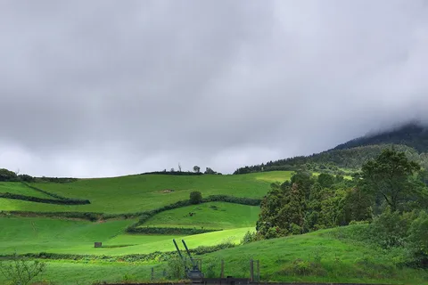
The route starts and finishes at the Caldeiras hot springs, with their bathing pools, picnic area and restaurant. It descends the asphalt road toward Lombadas and Monte Escuro, follows a pipeline, then detours along a chain-gated path to the Fajã do Redondo dam before dropping, between tall Japanese cedars, to the disused Fajã do Redondo hydroelectric plant.
From there the trail crosses a stream on a metal walkway and climbs a steep stairway to the Salto do Cabrito power plant, where the waterfall that gives the station its name drops just behind the building. Back on the asphalt road, it passes the 'Lagoa do Fogo' bar and the Pico Vermelho geothermal plant before turning onto a dirt path that crosses two more streams, one on a suspension bridge, back to the Caldeiras.
It's a medium 8.6 km loop of about 3 hours, with some 345 m of climbing spread across the walk's several dips to the stream crossings and power stations and the return to the Caldeiras.
Elevation · from the official GPX
Up and down the trail
Plan your walk · MET Norway & IPMA
When to go
Pick a start time. We forecast where you'll be each hour — 121 m at the lowest point, 322 m at the top.
Official facts, our words
What to know
Trail facts
Difficulty Moderate- Length
- 8.6 km
- Duration
- 3 hr
- Elevation gain
- 345 m
- Route
- Circular
- Highest point
- 322 m
- Steepest climb
- 23% at km 4.1
- Start
- Caldeiras hot springs, Ribeira Grande
- Finish
- Caldeiras hot springs, Ribeira Grande
- Permit
- Not required
- Trail code
- PRC29SMI
Route and facts © Azores trails network (visitazores.com)